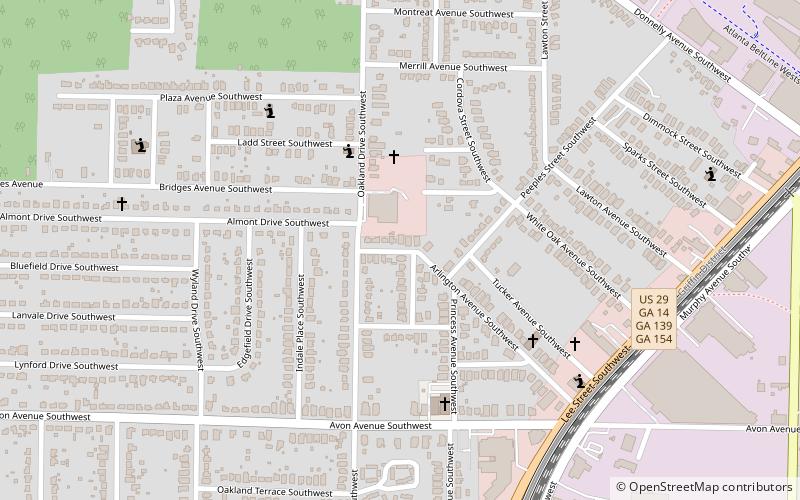
Oakland City, Atlanta
Faits et informations pratiques
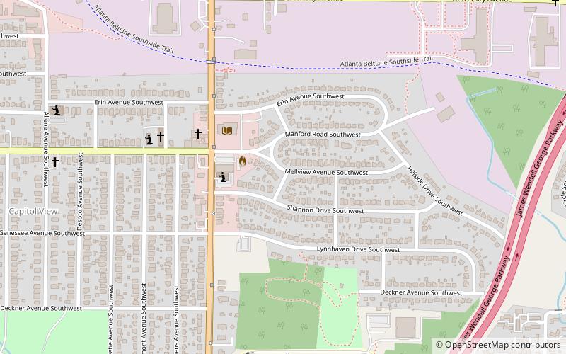
Oakland City est un quartier du sud-ouest d'Atlanta, en Géorgie, juste au sud-ouest de la Beltline de West End et d'Adair Park.
Oakland City a été constituée en tant que ville en 1894 et annexée à Atlanta en 1910.
Le quartier historique d'Oakland City est inscrit au registre national des lieux historiques. Il contient des bungalows en bois et en briques ainsi que un minimum de renouveau vernaculaire anglais et des maisons artisanales. Le district comprenait la maison Withers, qui a été démolie au cours de la première décennie des années 2000.
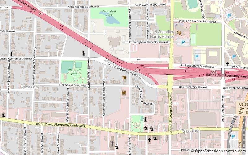
Le quartier est servi par la gare d'Oakland City.
Intown South (Oakland City)Atlanta
- Métro
- Autobus
 Métro
Métro
- Déterminer l'itinéraireOakland City 16 min. de marche
- Déterminer l'itinéraireWest End 27 min. de marche
- Déterminer l'itinéraireWest End Station 27 min. de marche
Oakland City – populaire dans la région (distance de cette attraction)
À proximité, vous trouverez notamment des attractions telles que : Perkerson Park, Evangeline Booth College, Atlanta State Farmers' Market, Hammonds House Museum.


Foire aux questions (FAQ)
Quelles sont les attractions populaires à proximité ?
Comment s'y rendre par les transports publics ?
Métro
- Oakland City • Lignes: Gold, Red (16 min. de marche)
- West End • Lignes: Gold, Red (27 min. de marche)
Autobus
- West End Station • Lignes: 832 (27 min. de marche)