Sutter Cinema, San Francisco
Faits et informations pratiques
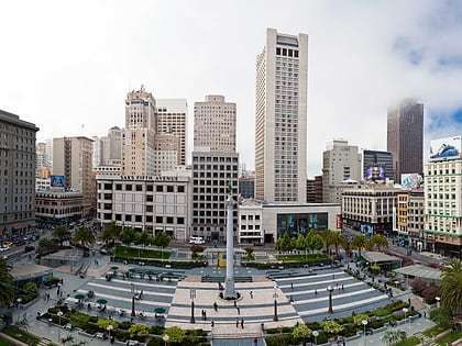
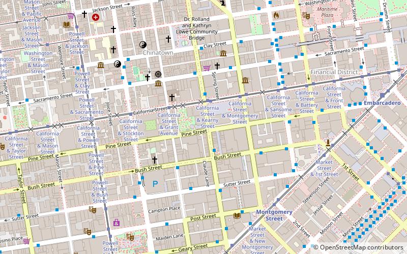
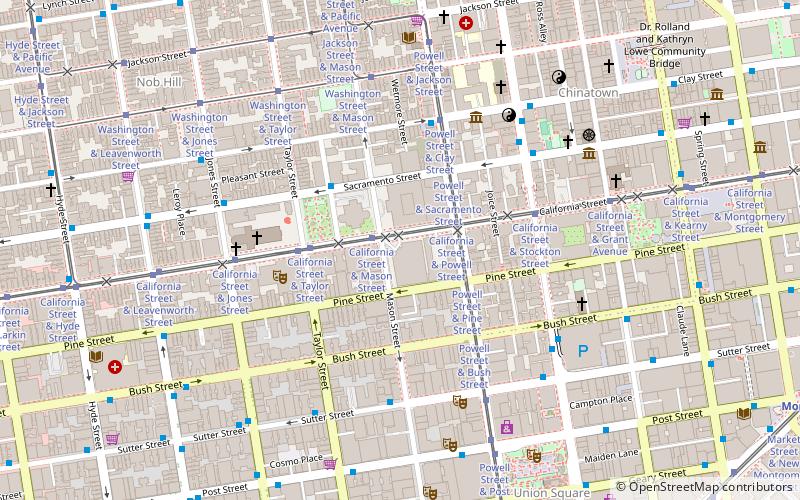
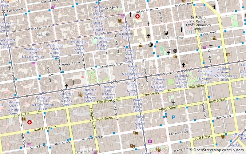
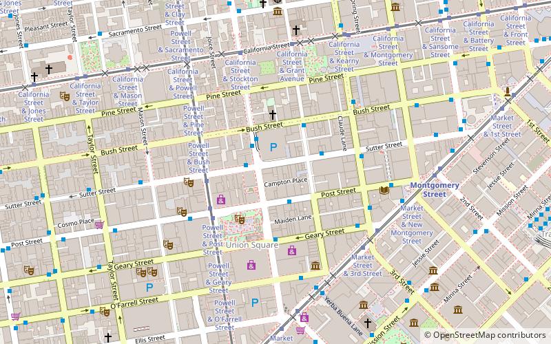
Le cinéma Sutter était situé sur Sutter Street au centre-ville de San Francisco, juste à côté de la place de l'Union à la mode et à quelques pâtés de maisons de Chinatown. C'était une visite, au deuxième étage 363 Sutter, occupant l'espace qui avait auparavant été l'un des premiers clubs nocturnes appartenant à Chinere d'America, la ville interdite de Charlie Low, qui mettait en vedette le danseur Coby Yee.
Le cinéma Sutter a ouvert ses portes en 1970; Le propriétaire / manager, également caissier, était membre de la Freedom League sexuelle et l'un des amis les plus proches de Janis Joplin au lycée, Arlene Elster. Elle a été la première, sinon la seule femme, à exploiter un théâtre adulte. La clientèle était de la classe moyenne.
Les Américains d'origine asiatique de Chinatown à proximité ont également fréquenté le cinéma parce qu'Elster était l'un des rares clients du légendaire restaurant Sam Wo à être convivial avec son serveur en chef notoirement abusif Edsel Ford Fong, qu'elle a fourni avec un approvisionnement ample de passes gratuites.
Le cinéma Sutter était unique, car en contraste pointé avec le théâtre Mitchell Brothers O'Farrell, Elster n'était pas principalement motivé par l'argent. Elle était membre de la Sexual Freedom League, en avait une prestation au cinéma et a estimé que sa participation à l'industrie du cinéma pornographique était l'occasion de répandre la liberté sexuelle et de gagner sa vie. Elle montrait des films sexuels par un sentiment que les films sexuels devraient être montrés: "Les Times permettent maintenant non seulement mais nécessitent des films comme le nôtre." Elle ne ferait que montrer dans les films de théâtre qui lui faisait plaisir, certains fabriqués avec son partenaire Lowell Pickett. "Sutter Cinema a joué des films qu'Elster voulait voir, des films dans lesquels une femme possédait des désirs sexuels et` `a fait '' comme les hommes." Elster avait l'intention de montrer des films érotiques qui montraient plus qu'un pénis dans un vagin. Elle a estimé que "un film érotique devait être fait, par et pour les hommes et les femmes. Les orgasmes féminins doivent être représentés à l'écran à un rythme égal aux orgasmes masculins". "En décembre 1970, le cinéma avec Leo Productions a parrainé un festival de film érotique de cinq jours vers cette fin" Le film de Mary Rexroth Intersection a eu sa première au Sutter, où elle a également montré le film Mary Rexroth Cozy Cool et les films pornographiques gays et gays. Mary Rexroth est la fille du regretté poète Kenneth Rexroth.
Le premier festival international du film érotique a acquis un minimum de cache littéraire grâce à la présence de juges du festival, le critique Arthur Knight et l'éditeur de livres érotiques Maurice Girodias. En conséquence, le festival a attiré l'attention des producteurs et des observateurs de talents du Johnny Carson Show, qui a invité Elster à faire un segment du programme, diffusé en janvier 1971.
En 1975, Elster a été désenchantée, en raison du harcèlement de la police et le manque de films de qualité à montrer. De 1975 à 1976, elle sous-loue le cinéma, a déménagé avec son partenaire lesbien dans le comté de Sonoma et, comme Fred Halsted, a exploité une pépinière de plante en gros. Le cinéma a fermé peu de temps après.
Northeast San Francisco (Downtown San Francisco-Union Square)San Francisco
Sutter Cinema – populaire dans la région (distance de cette attraction)
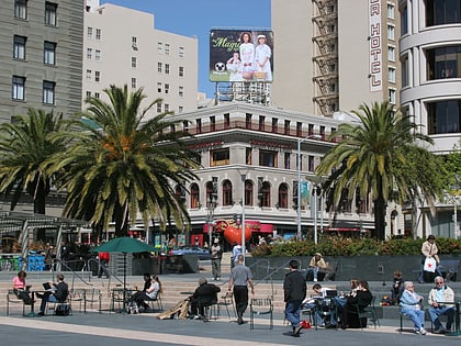
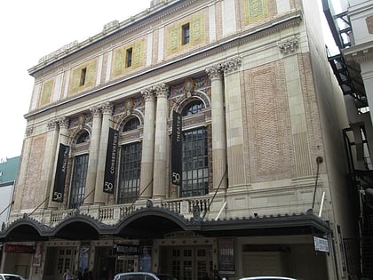
À proximité, vous trouverez notamment des attractions telles que : Dewey Monument, Union Square, Monument aux femmes de réconfort de San Francisco, American Conservatory Theater.
Foire aux questions (FAQ)
Quelles sont les attractions populaires à proximité ?
Comment s'y rendre par les transports publics ?
Autobus
- Stockton Street & Sutter Street • Lignes: 30, 8, 91 (2 min. de marche)
- Sutter Street & Kearny Street • Lignes: 30, 8, 91 (3 min. de marche)
Trolleybus
- Stockton Street & Sutter Street • Lignes: 30, 45 (2 min. de marche)
- Sutter Street & Kearny Street • Lignes: 30, 45 (3 min. de marche)
Trams
- Powell Street & Sutter Street (4 min. de marche)
- Powell Street & Post Street (4 min. de marche)
Métro léger
- Montgomery Street • Lignes: K, N, S, T (7 min. de marche)
- Powell Street • Lignes: K, N, S, T (9 min. de marche)
Métro
- Montgomery Street • Lignes: Blue, Green, Red, Yellow (7 min. de marche)
- Powell Street • Lignes: Blue, Green, Red, Yellow (9 min. de marche)
Ferry
- Ferry Building Gate B • Lignes: San Francisco Bay Ferry (23 min. de marche)
Chemin de fer
- San Francisco 4th & King Street (28 min. de marche)
 Muni Metro