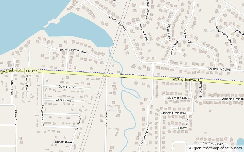
Tom King Bayou Bridge, Santa Rosa Island
Carte
Faits et informations pratiques
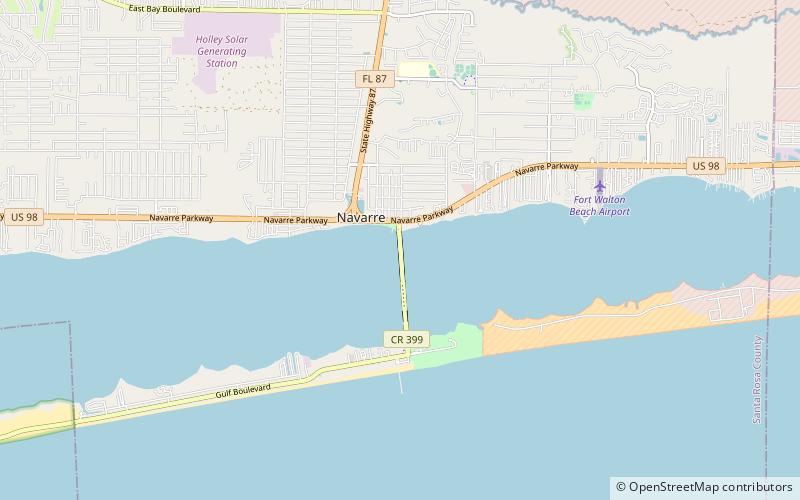
Le pont de Tom King Bayou est le nom localement utilisé pour le pont de boulevard d'East Bay traversant Tom King Bayou. Le Bayou est traversé par le boulevard d'East Bay près de l'entrée du Bayou.
Coordonnées: 30°26'46"N, 86°56'10"W
Adresse
Santa Rosa Island
ContactAjouter
Médias sociaux
Ajouter
Excursions d'une journée
Tom King Bayou Bridge – populaire dans la région (distance de cette attraction)
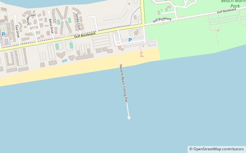
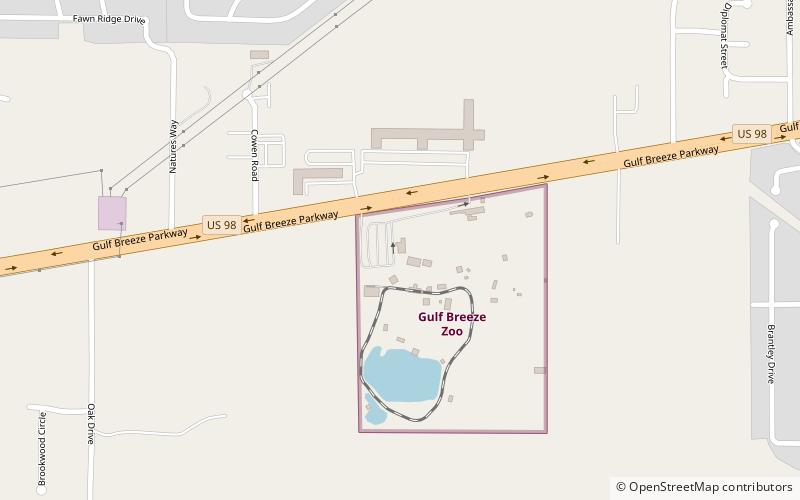
À proximité, vous trouverez notamment des attractions telles que : Navarre Beach Sea Turtle Conservation Center, Navarre Beach Fishing Pier, Navarre Beach Causeway, Gulf Breeze Zoo.