South Bronx Greenway, New York
Carte
Faits et informations pratiques
Le South Bronx Greenway est un projet visant à améliorer l'accès au bord de l'eau, les installations récréatives et les systèmes de transport, y compris les pistes piétonnes et les vélos, dans le sud du Bronx à New York.
Hauteur: 13 ft Coordonnées: 40°48'40"N, 73°53'46"W
Adresse
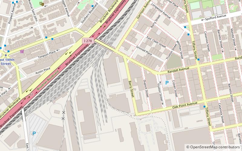
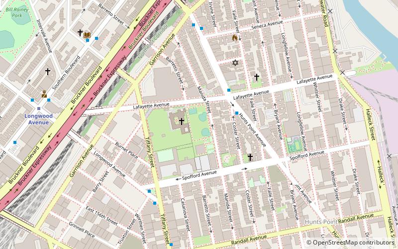
West Bronx (Port Morris)New York
ContactAjouter
Médias sociaux
Ajouter
Accès par les transports publics
Arrêts de transport public à proximité du site
- Métro
- Autobus
- Chemin de fer
 Métro
Métro
- Déterminer l'itinéraireLongwood Avenue 10 min. de marche
- Déterminer l'itinéraireEast 149th Street 11 min. de marche
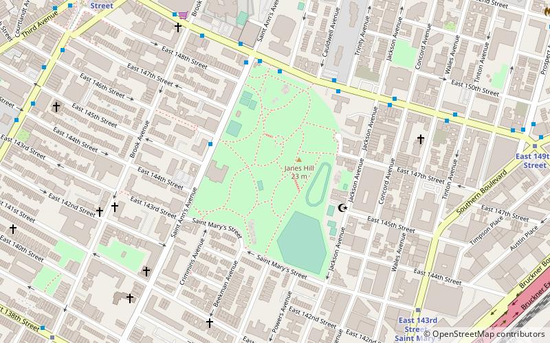
- Déterminer l'itinéraireEast 143rd Street–Saint Mary's Street 17 min. de marche
- Déterminer l'itinéraireProspect Avenue 17 min. de marche
- Déterminer l'itinéraireEast 149th Street & Trinity Aveue 20 min. de marche
- Déterminer l'itinéraireBergen Avenue & East 149 Street 29 min. de marche
- Déterminer l'itinéraireEast 163rd Street & 3rd Avenue 29 min. de marche
- Déterminer l'itinéraire3rd Avenue & Willis Avenue 31 min. de marche
- Déterminer l'itinéraireMelrose 37 min. de marche
Cartes MétroCartes
 Manhattan Bus
MétroCartesManhattan BusExcursions d'une journée
South Bronx Greenway – populaire dans la région (distance de cette attraction)
À proximité, vous trouverez notamment des attractions telles que : Barretto Point Park, Church of St. Anselm and St. Roch, Printers Park, Chevra Linas Hazedek Synagogue of Harlem and the Bronx.


Foire aux questions (FAQ)
Quelles sont les attractions populaires à proximité ?
Les attractions à proximité comprennent Playground 52, New York (12 min. de marche), Longwood, New York (12 min. de marche), Julio Carballo Field, New York (13 min. de marche), Barretto Point Park, New York (15 min. de marche).
Comment s'y rendre par les transports publics ?
Stations et arrêts à proximité de South Bronx Greenway :
Métro
Autobus
Chemin de fer
Métro
- Longwood Avenue • Lignes: 6 (10 min. de marche)
- East 149th Street • Lignes: 6 (11 min. de marche)
Autobus
- East 149th Street & Trinity Aveue • Lignes: Bx19 (20 min. de marche)
- Bergen Avenue & East 149 Street • Lignes: Bx4, Bx4A (29 min. de marche)
Chemin de fer
- Melrose (37 min. de marche)