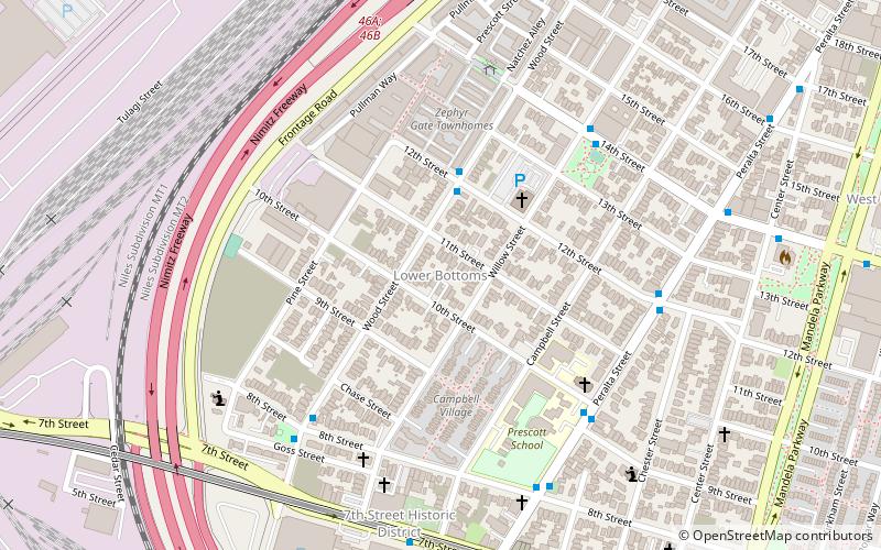
Village Bottoms, Oakland
Faits et informations pratiques
Le Village Bottoms est un quartier culturel historique dans le quartier à prédominance noire de West Oakland, en Californie. Sa revitalisation actuelle et sa renaissance des arts culturels sont catalysés par l'artiste / travailleur culturel Marcel Diallo et un quartier de jeunes artistes noirs, notamment Githinji wa mbire, Eesuu Orundide, Letitia Ntofon et Rappers Boots Riley of the Coup, Zumbi of Zion I et Adimu Madyun du groupe de rap Hairdooo.
Le district culturel du village de Bottoms contient le Black Dot Cafe, le Continental Club, l'orbite d'ester, le Pacific Cannery Lofts, la gare de 16e rue, le cirque Velocity, le projet de théâtre communautaire de Playaz en bas de fond et les indicateurs environnementaux et plus encore.
Le "Village Bottoms" est un nom que beaucoup dans la communauté culturelle noire d'Oakland, y compris le défunt poète lauréat d'Oakland, Reginald Lockett préfèrent appeler une petite section du vieux quartier d'Oakland West dans lequel leurs parents, leurs grands-parents et / ou les arrière-grands-parents vivaient. Bien que la ville d'Oakland appelle officiellement le plus grand district de Prescott, la génération des années 1980 l'a appelé les Boondocks puis les bas inférieurs, et de nombreux nouveaux résidents gentrifiants préfèrent le point d'Oakland encore plus ancien, ce que l'on croit que le nom est, ses nombreux Les noms soulignent le fait écrasant que le quartier se fait en effet gentrifier et subit une transition et une lutte intenses pour son identité même similaire à ce qui s'est produit dans le quartier du Lower East Side de New York deux décennies plus tôt.
West Oakland (Prescott)Oakland
- Métro
- Autobus
- Ferry
 Métro
Métro
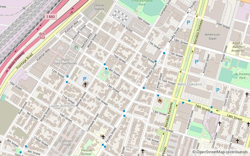
- Déterminer l'itinéraireWood Street & 12th Street 3 min. de marche
- Déterminer l'itinérairePeralta Street & 10th Street 6 min. de marche
- Déterminer l'itinéraire14th Street & Willow Street 6 min. de marche
- Déterminer l'itinéraireWest Oakland 12 min. de marche
- Déterminer l'itinéraireOakland Jack London Square Terminal 39 min. de marche
Village Bottoms – populaire dans la région (distance de cette attraction)
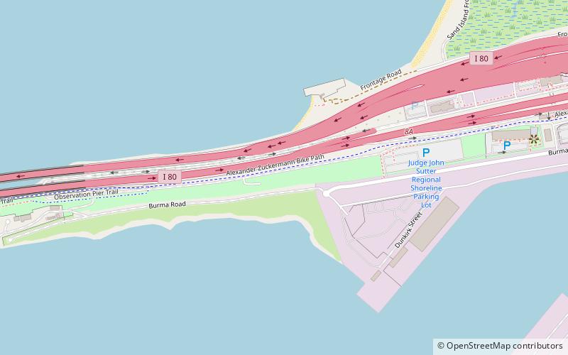
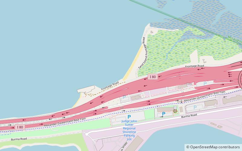
À proximité, vous trouverez notamment des attractions telles que : Judge John Sutter Regional Shoreline, USS Potomac, Preservation Park, The Crucible.


Foire aux questions (FAQ)
Quelles sont les attractions populaires à proximité ?
Comment s'y rendre par les transports publics ?
Autobus
- Wood Street & 12th Street • Lignes: 14 (3 min. de marche)
- Peralta Street & 10th Street • Lignes: 29 (6 min. de marche)
Métro
- West Oakland • Lignes: Blue, Green, Red, Yellow (12 min. de marche)
Ferry
- Oakland Jack London Square Terminal • Lignes: San Francisco Bay Ferry (39 min. de marche)