Rock Island State Park, Rock Island
Carte
![Rock Island State Park location map](https://tzmedia.b-cdn.net/media/images/static-maps/us/45_4142_-86_8194.jpg)
Carte
![Rock Island State Park location map](https://tzmedia.b-cdn.net/media/images/static-maps/us/45_4142_-86_8194.jpg)
Faits et informations pratiques
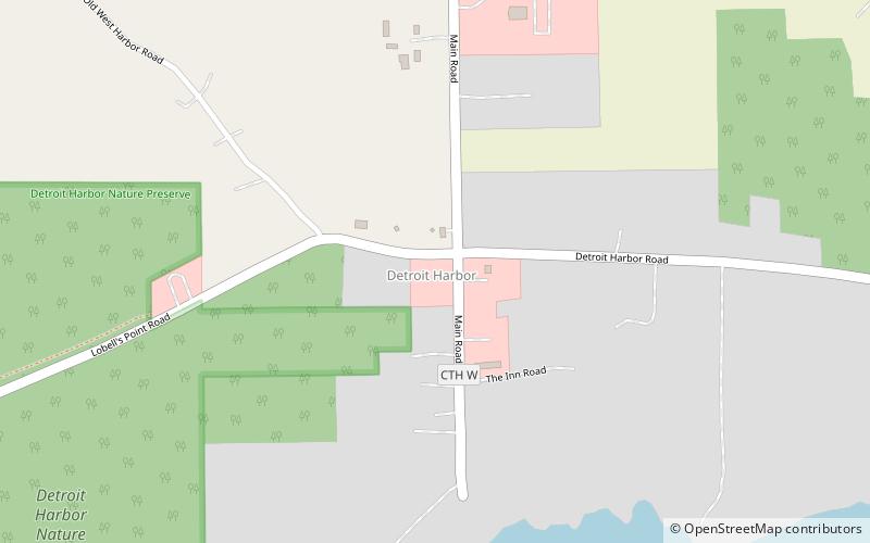
Le parc d'État de Rock Island est un parc d'État du Wisconsin situé sur Rock Island au large de la péninsule de la porte à l'est de Green Bay et du lac Michigan.
Établi: 1965 (il y a 59 ans)Superficie: 1.42 mi²Hauteur: 748 ft Coordonnées: 45°24'51"N, 86°49'10"W
Excursions d'une journée
Rock Island State Park – populaire dans la région (distance de cette attraction)
À proximité, vous trouverez notamment des attractions telles que : Phare de Pottawatomie, Rock Island State Park, Detroit Harbor, Trueblood Performing Arts Center.