Moor Bridge tram stop, Nottingham


Faits et informations pratiques
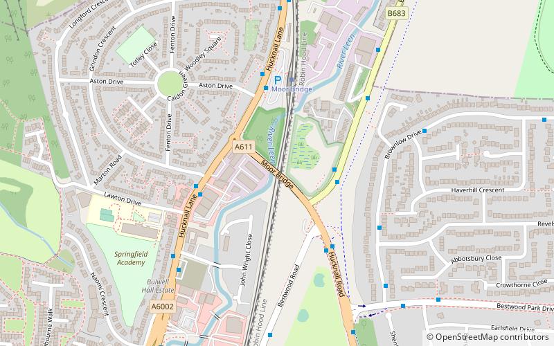
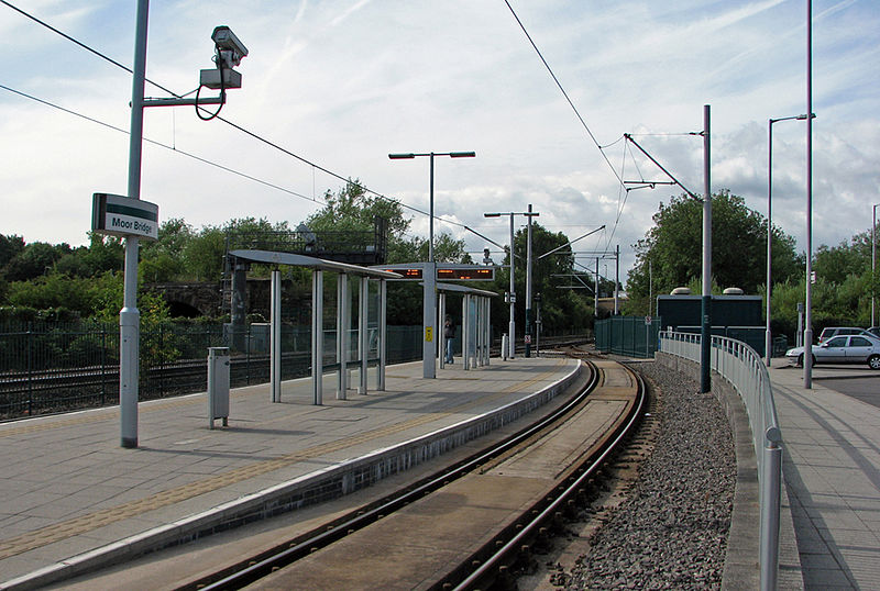
Moor Bridge est un arrêt de tramway sur le système de tramway de Transit Nottingham Express dans la ville de Nottingham dans la banlieue de Bulwell. Il fait partie du système initial du filet et est situé sur la longue section à ligne unique entre Bulwell et Hucknall TRAM des arrêts qui se déroulent le long de la ligne de chemin de fer Robin Hood. Comme tous les autres arrêts intermédiaires de cette section, l'arrêt a une boucle de passe avec une plate-forme insulaire située entre les deux pistes de la boucle.
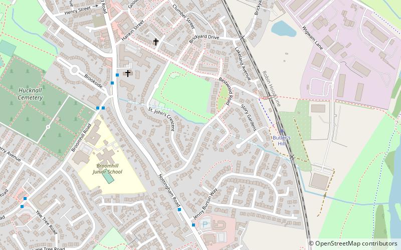
Moor Bridge est l'un des nombreux arrêts de parc et de trajet sur le réseau net, avec plus de 100 places de parking situées à côté de l'arrêt. C'est l'arrêt le plus au nord de la ville de Nottingham, avec Butler's Hill, le prochain arrêt au nord, étant dans le district d'Ashfield.
Avec l'ouverture de la phase deux de Net, Moor Bridge est maintenant sur la ligne NET 1, qui s'étend de Hucknall à travers le centre-ville pour Beeston et Chilwell. Les tramways fonctionnent à des fréquences qui varient entre 4 et 8 tramways par heure, selon la journée et l'heure de la journée.
BulwellNottingham
Moor Bridge tram stop – populaire dans la région (distance de cette attraction)
À proximité, vous trouverez notamment des attractions telles que : Church of St John the Divine, Leen Valley, Church of St John the Evangelist, Church of St Mary the Virgin and All Souls.
Foire aux questions (FAQ)
Quelles sont les attractions populaires à proximité ?
Comment s'y rendre par les transports publics ?
Autobus
- Moorbridge Ponds • Lignes: 141, 728 (2 min. de marche)
- Lawton Drive • Lignes: 728, 79, L6 (3 min. de marche)
Trams
- Moor Bridge • Lignes: 1 (4 min. de marche)
- Bulwell Forest • Lignes: 1 (13 min. de marche)
Chemin de fer
- Bulwell (26 min. de marche)


