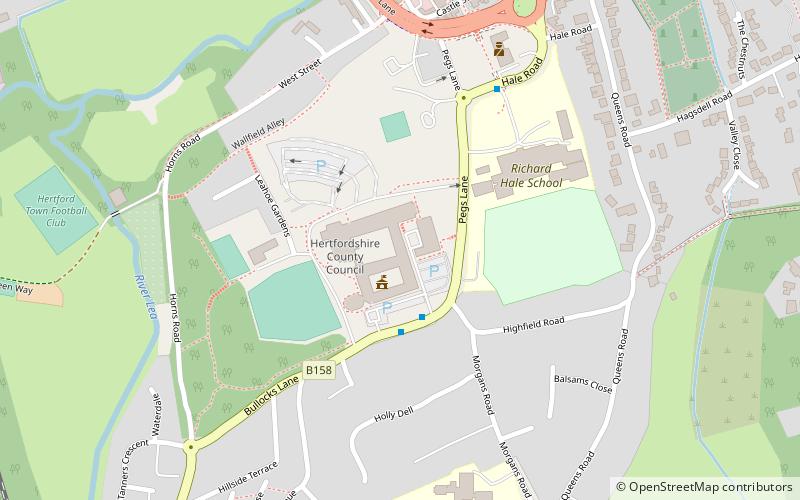
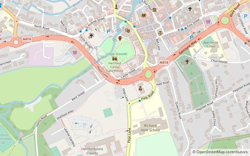
East Hertfordshire District Council, Hertford
Faits et informations pratiques
Le conseil du district du Hertfordshire est l'autorité locale du district non-métropolitain d'East Hertfordshire en Angleterre, le Royaume-Uni. Le Hertfordshire de l'Est couvre la majeure partie du tiers oriental du Hertfordshire, dans l'est de la région de l'Angleterre. La zone du conseil comprend la ville du comté de Hertford, la plus grande ville du district de Stortford, Ware, Sawbridgeworth, Buntingford et les villages voisins.
Le Conseil est responsable d'une gamme de services locaux, notamment la collecte des déchets et du recyclage, la planification, le contrôle des bâtiments, les licences, le logement, le stationnement et la collecte des taxes du conseil. Le conseil est officiellement appelé «East Hertfordshire District Council», mais sa marque d'entreprise est «East Herts Council». Le «East Herts Council» est en usage commun dans les journaux locaux, et «East Herts» est utilisé par de nombreuses autres organisations locales comme terme géographique.
Le conseil est actuellement contrôlé par les conservateurs, qui ont remporté 40 des 50 sièges du Conseil lors des dernières élections en 2019.
- Autobus
- Chemin de fer
 Autobus
- Déterminer l'itinéraireBus Station 13 min. de marche
- Déterminer l'itinéraireHertford Bus Station 13 min. de marche
- Déterminer l'itinéraireHertford East 17 min. de marche
- Déterminer l'itinéraireHertford North 18 min. de marche
East Hertfordshire District Council – populaire dans la région (distance de cette attraction)
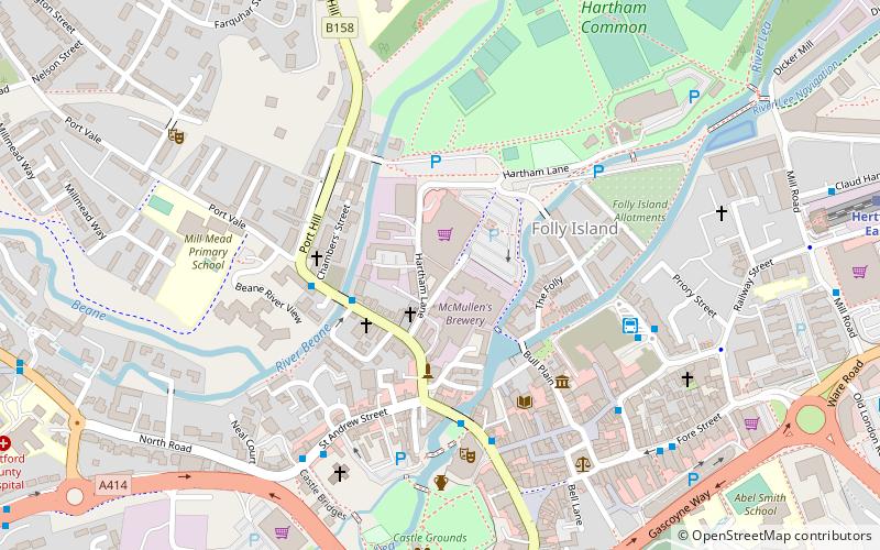
À proximité, vous trouverez notamment des attractions telles que : Hertford Museum, All Saints' Church, The White Horse, Hartham Common.


Foire aux questions (FAQ)
Quelles sont les attractions populaires à proximité ?
Comment s'y rendre par les transports publics ?
Autobus
- Bus Station • Lignes: 10, 724 (13 min. de marche)
- Hertford Bus Station (13 min. de marche)
Chemin de fer
- Hertford East (17 min. de marche)
- Hertford North (18 min. de marche)