Bristol and Bath Railway Path, Bristol


Faits et informations pratiques
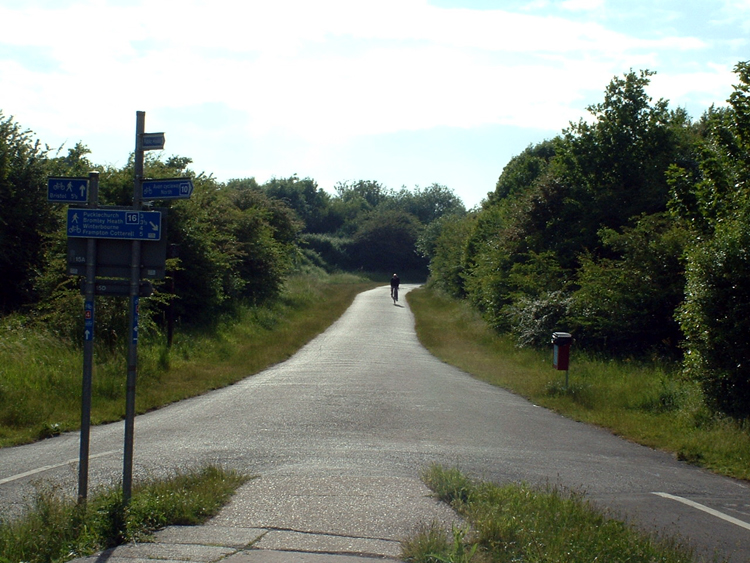
Le Chemin de fer Bristol-Bath est un sentier de randonnée prisé qui serpente à travers la campagne pittoresque du Royaume-Uni, reliant les villes historiques de Bristol et Bath. Autrefois une ligne ferroviaire en service, ce chemin de 21 kilomètres a été transformé en une voie verte où cyclistes, marcheurs et coureurs peuvent profiter d'un parcours sans trafic motorisé, immergé dans la tranquillité de la nature.
Le sentier commence à la périphérie de la vibrante ville de Bristol, connue pour son riche patrimoine maritime et sa scène culturelle florissante, et se termine dans la splendeur géorgienne de Bath, célèbre pour ses thermes romains et son architecture classique. Le parcours est jalonné de points d'intérêt historiques et offre des vues imprenables sur la campagne anglaise, avec des espaces verts, des rivières et des viaducs qui rappellent l'ère victorienne.
Entièrement asphalté et bien entretenu, le Bristol and Bath Railway Path est accessible à tous les niveaux de forme physique et est particulièrement apprécié des familles et des amateurs de balades décontractées. Il fait partie du réseau national de pistes cyclables du Royaume-Uni, le National Cycle Network, et constitue une voie de liaison importante pour les déplacements durables dans la région.
Bristol and Bath Railway Path – populaire dans la région (distance de cette attraction)
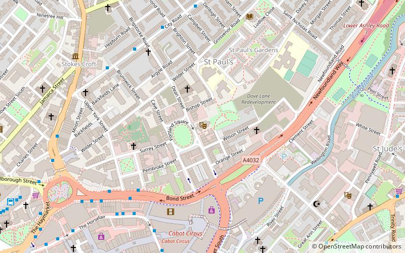
À proximité, vous trouverez notamment des attractions telles que : Broadmead, Cabot Circus, The Galleries, Temple Church.
Foire aux questions (FAQ)
Quelles sont les attractions populaires à proximité ?
Comment s'y rendre par les transports publics ?
Autobus
- West Street • Lignes: 43 (4 min. de marche)
- Easton Road • Lignes: 43 (5 min. de marche)
Chemin de fer
- Lawrence Hill (13 min. de marche)
- Gare de Bristol Temple Meads (14 min. de marche)
Ferry
- City Centre • Lignes: Hotwells-Centre (26 min. de marche)
- Prince Street Bridge • Lignes: Hotwells-Centre (28 min. de marche)


