Trent Valley Way, Nottingham
Faits et informations pratiques
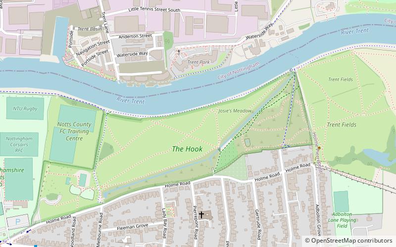
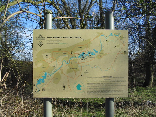
Trent Valley Way est un sentier de randonnée qui serpente à travers le paysage pittoresque du Nottinghamshire, au cœur du Royaume-Uni. Ce chemin offre aux marcheurs une expérience unique de la campagne anglaise, en les emmenant à travers des champs verdoyants, des forêts anciennes et le long des rives tranquilles de la rivière Trent.
Le sentier, bien balisé et entretenu, s'étend sur plusieurs kilomètres et est conçu pour offrir un parcours accessible aux randonneurs de tous niveaux. Que vous soyez à la recherche d'une promenade relaxante ou d'une journée complète d'aventure en plein air, Trent Valley Way offre une multitude d'options pour découvrir la beauté naturelle de la région.
La proximité de la ville de Nottingham, célèbre pour ses liens avec la légende de Robin des Bois, ajoute une touche de patrimoine culturel à l'expérience de la randonnée. Les marcheurs peuvent ainsi combiner leur amour de la nature avec une visite de cette ville historique, enrichissant leur excursion d'une dimension éducative et divertissante.
Trent Valley Way est également une destination appréciée des amateurs de faune et de flore. En chemin, il est possible d'observer une variété d'oiseaux, de mammifères et de plantes qui font de cette région leur habitat. Les points de vue le long de la rivière offrent des moments de tranquillité et de contemplation, avec seulement le murmure de l'eau et le chant des oiseaux pour accompagner les randonneurs.
Les amateurs de photographie trouveront également leur bonheur, avec de nombreuses occasions de capturer des images de la campagne anglaise idyllique. Le changement des saisons offre un spectacle en constante évolution, rendant chaque visite unique.
Nottingham
Trent Valley Way – populaire dans la région (distance de cette attraction)
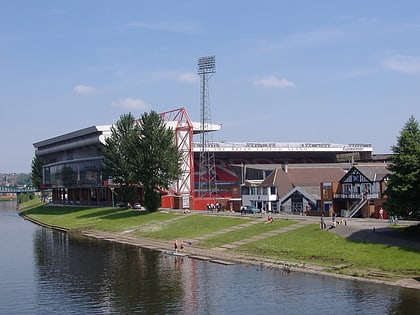
À proximité, vous trouverez notamment des attractions telles que : Trent Bridge, City Ground, Nottingham Greyhound Stadium, Meadow Lane.
Foire aux questions (FAQ)
Quelles sont les attractions populaires à proximité ?
Comment s'y rendre par les transports publics ?
Autobus
- Primary School • Lignes: 11, 11C (7 min. de marche)
- Pierrepont Road • Lignes: L22 (7 min. de marche)
Chemin de fer
- Gare de Nottingham (30 min. de marche)
Trams
- Nottingham Station • Lignes: 1, 2 (30 min. de marche)
- Lace Market • Lignes: 1, 2 (34 min. de marche)

