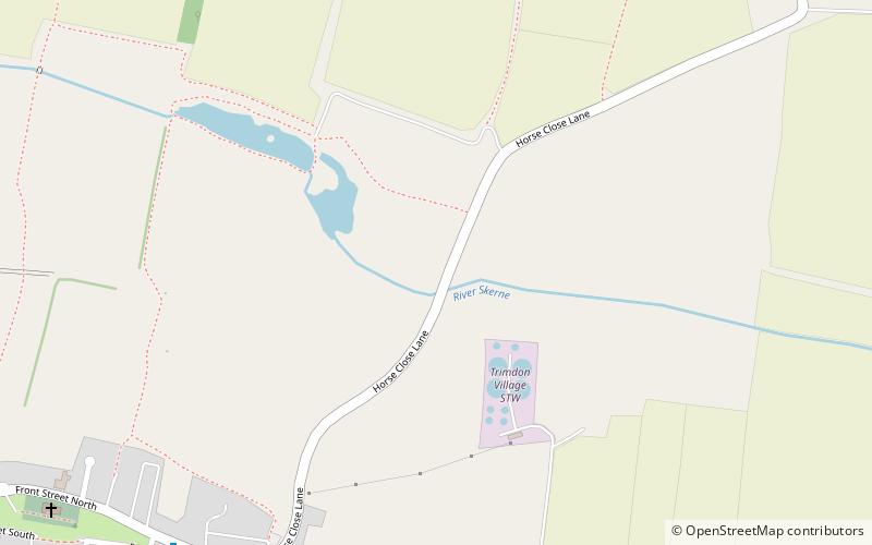
Charity Land, Trimdon
Faits et informations pratiques
Charity Land est un site d'intérêt scientifique spécial dans le district de Sedgefield du comté de Durham, en Angleterre. Il couvre une zone sur les deux rives de la rivière Skerne, juste au nord-est du village de Trimdon.
L'habitat du site est une prairie neutre non améliorée, sous-tend par le calcaire magnésien. Une fois répandus sur le plateau calcaire de l'est de Durham, ces prairies ont été principalement détruites par des pratiques agricoles modernes, les quelques zones restantes étant petites et très fragmentées. La terre caritative est importante comme l'un des rares exemples restants de cet habitat.
Les champs sont dominés par les espèces de gazon, mais une variété de forces de prairies sont présentes.
Charity Land – populaire dans la région (distance de cette attraction)
À proximité, vous trouverez notamment des attractions telles que : Wynyard Golf Club, Sedgefield Racecourse, Hardwick Hall Country Park, Church of St Edmund.