Hollyhock Island, Staines-upon-Thames
Galerie (2)
Carte
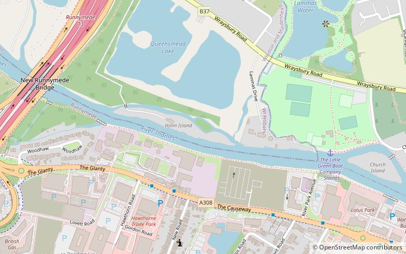
Carte
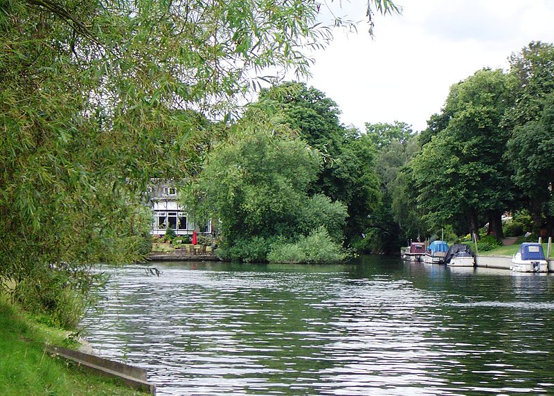
Galerie
Faits et informations pratiques
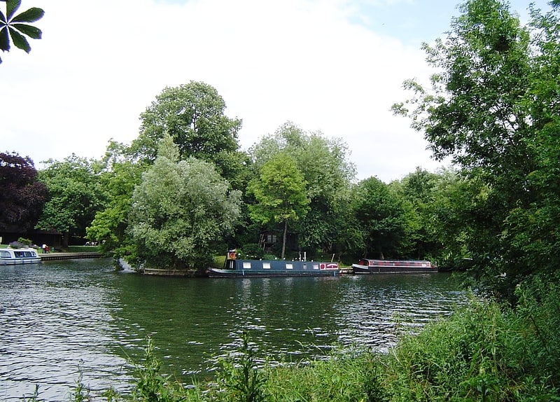
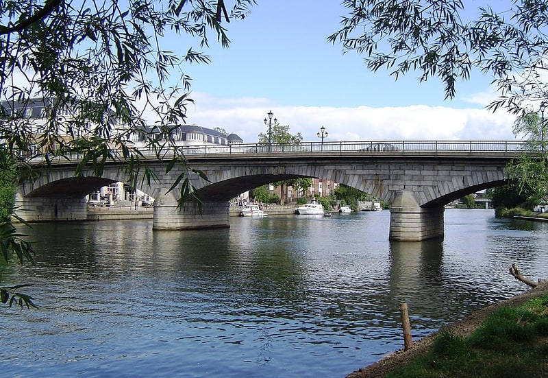
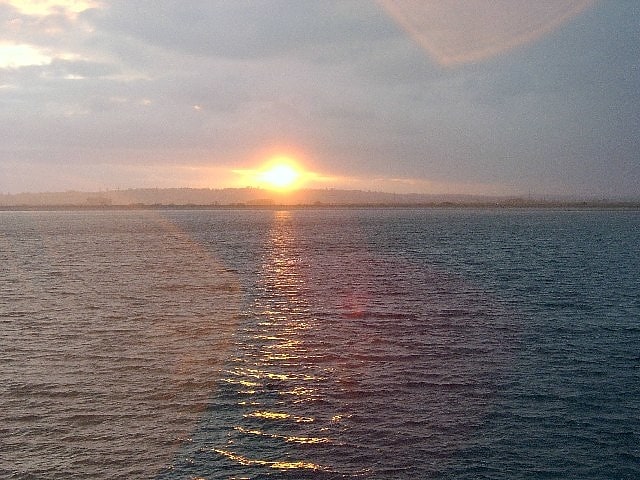
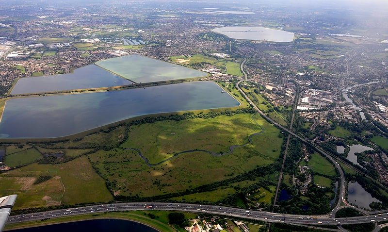
L'île Hollyhock est une île habitée dans la Tamise de la rivière en Angleterre sur la portée entre Bell Weir Lock et Penton Hook Lock.
Coordonnées: 51°26'10"N, 0°31'40"W
Adresse
Staines-upon-Thames
ContactAjouter
Médias sociaux
Ajouter
Accès par les transports publics
Arrêts de transport public à proximité du site
- Autobus
- Chemin de fer
 Autobus
- Déterminer l'itinéraireHawthorn Road 4 min. de marche
- Déterminer l'itinéraireClaremont Road 8 min. de marche
- Déterminer l'itinéraireEgham 24 min. de marche
- Déterminer l'itinéraireStaines 28 min. de marche
Excursions d'une journée
Hollyhock Island – populaire dans la région (distance de cette attraction)
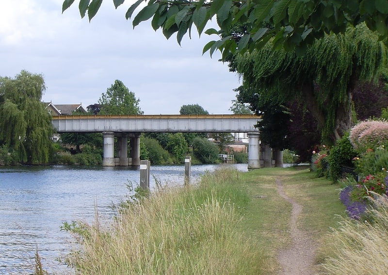
À proximité, vous trouverez notamment des attractions telles que : St. Mary's Church, Staines Bridge, St John's Church, Staines Railway Bridge.


Foire aux questions (FAQ)
Quelles sont les attractions populaires à proximité ?
Les attractions à proximité comprennent M25 Runnymede Bridge, Egham (9 min. de marche), Church Island, Staines-upon-Thames (9 min. de marche), St. Mary's Church, Staines-upon-Thames (10 min. de marche), Staines Bridge, Staines-upon-Thames (13 min. de marche).
Comment s'y rendre par les transports publics ?
Stations et arrêts à proximité de Hollyhock Island :
Autobus
Chemin de fer
Autobus
- Hawthorn Road • Lignes: 500, 566, 567, 8A (4 min. de marche)
- Claremont Road • Lignes: 500, 566, 567, 8A (8 min. de marche)
Chemin de fer
- Egham (24 min. de marche)
- Staines (28 min. de marche)