Irlams o' th' Height, Manchester

Carte
Faits et informations pratiques
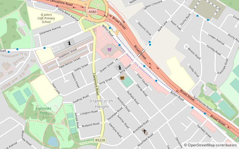
Irlams O 'Th' Hauteur est une banlieue de Salford, Grand Manchester, Angleterre.
Coordonnées: 53°29'59"N, 2°18'32"W
Adresse
Salford (Claremont)Manchester
ContactAjouter
Médias sociaux
Ajouter
Excursions d'une journée
Irlams o' th' Height – populaire dans la région (distance de cette attraction)
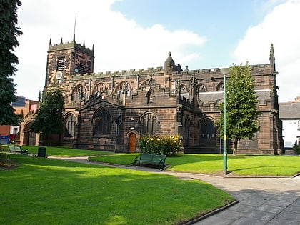
À proximité, vous trouverez notamment des attractions telles que : Salford Shopping Centre, Church of St Mary the Virgin, Buile Hill Park, St Thomas' Church.
Foire aux questions (FAQ)
Quelles sont les attractions populaires à proximité ?
Les attractions à proximité comprennent Buile Hill Park, Manchester (17 min. de marche), Agecroft Cemetery, Manchester (24 min. de marche).
Comment s'y rendre par les transports publics ?
Stations et arrêts à proximité de Irlams o' th' Height :
Autobus
Trams
Chemin de fer
Autobus
- Bolton Road/Co-op Superstore • Lignes: 74 (3 min. de marche)
- Bank Lane/Deacons Drive • Lignes: 74 (4 min. de marche)
Trams
- Ladywell • Lignes: Asht, Eccl (34 min. de marche)
- Eccles • Lignes: Asht, Eccl (40 min. de marche)
Chemin de fer
- Eccles (37 min. de marche)
- Swinton (40 min. de marche)
 Metrolink
 Metrolink


