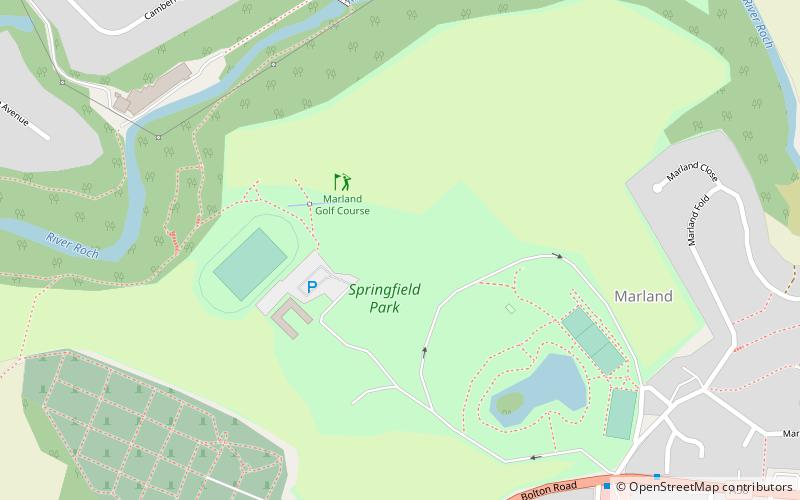
Marland Golf Course, Rochdale


Faits et informations pratiques
Marland Golf Course (adresse: Springfield Park) est une attraction située à Rochdale (royaume Angleterre) et appartenant à la catégorie : golf.
Il est situé à une altitude de 459 pieds, et ses coordonnées géographiques sont 53°36'20"N de latitude et 2°11'34"W de longitude.
Marland Golf Course se trouve à une courte distance des stations de transport public suivantes : Castleton (chemin de fer, 28 min. de marche).
Parmi d'autres lieux et attractions à visiter dans les environs, il y a notamment : Denehurst Park (park, 28 min. de marche), Taylor Park (park, 28 min. de marche), Spotland Stadium (lieu de sport, 30 min. de marche).
Marland Golf Course – populaire dans la région (distance de cette attraction)
À proximité, vous trouverez notamment des attractions telles que : Spotland Stadium, Heywood, Church of Saint Edmund, Denehurst Park.
Foire aux questions (FAQ)
Comment s'y rendre par les transports publics ?
Chemin de fer
- Castleton (28 min. de marche)
- Heywood (33 min. de marche)


