Weardale Way, Sunderland
Faits et informations pratiques
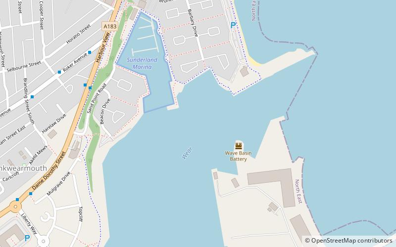
Weardale Way est un sentier qui suit l'usure de la rivière dans le nord-est de l'Angleterre. Il dure 73 miles de long, à partir du Mémorial de Lindesfarne sur la paroi maritime de Roker. Il passe ensuite par Chester-le-Street, Durham, Bishop Auckland, Wolsingham et Stanhope. Le chemin se termine à l'extérieur du bureau de poste du village de Wearhead dans le comté de Durham.
Dans la région administrée par l'autorité locale de la ville de Sunderland, l'itinéraire est destiné à suivre celui marqué comme le sentier de la rivière; Malheureusement, de nombreux marqueurs de cette route ont été supprimés par des vandales. Une fois que l'itinéraire est entré dans la zone administrée par le Conseil du comté de Durham, il est bien marqué par une certaine mesure par des disques en plastique attachés aux poteaux en bois et en métal, aux arbres et aux meubles de rue. Il y a plusieurs panneaux de «doigt» en bois le long de l'itinéraire qui compte le compte de la distance le long du sentier dans les deux sens.
Cette voie est marquée sur la dernière série de cartes 1: 25 000 cartes, les feuilles d'explorateur 305, 307, 308 et OL31 couvrent la marche.
Un guide de la marche est disponible: The Weardale Way, un guide de marche pictural d'Alistair Wallace.
Sunderland
- Autobus
- Métro léger
 Autobus
- Déterminer l'itinéraireStadium of Light 19 min. de marche
- Déterminer l'itinéraireSt Peter's 22 min. de marche
- Déterminer l'itinéraireSunderland 27 min. de marche
- Déterminer l'itinéraireSeaburn 32 min. de marche
- Déterminer l'itinéraireSt Mary's Way 25 min. de marche
- Déterminer l'itinéraireSunderland Interchange 33 min. de marche
- Déterminer l'itinéraireSunderland Interchange Stand R 33 min. de marche


Foire aux questions (FAQ)
Quelles sont les attractions populaires à proximité ?
Comment s'y rendre par les transports publics ?
Métro léger
- Stadium of Light • Lignes: Green (19 min. de marche)
- St Peter's • Lignes: Green (22 min. de marche)
Autobus
- St Mary's Way • Lignes: 135 (25 min. de marche)
- Sunderland Interchange • Lignes: 426, 436, 905 (33 min. de marche)