Sunderland Civic Centre, Sunderland
Carte

Carte

Faits et informations pratiques
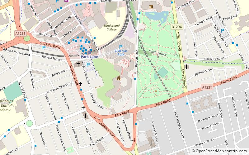
Sunderland Civic Center était un bâtiment municipal de la route Burdon à Sunderland, Tyne et Wear, en Angleterre. C'était le siège du conseil municipal de Sunderland jusqu'au 31 novembre 2021.
Coordonnées: 54°54'5"N, 1°22'56"W
Adresse
Sunderland
ContactAjouter
Médias sociaux
Ajouter
Excursions d'une journée
Sunderland Civic Centre – populaire dans la région (distance de cette attraction)
À proximité, vous trouverez notamment des attractions telles que : Stadium of Light, Sunderland Aquatic Centre, The Bridges, Mowbray Park.
Foire aux questions (FAQ)
Quelles sont les attractions populaires à proximité ?
Les attractions à proximité comprennent Mowbray Park, Sunderland (3 min. de marche), Art Arena, Sunderland (4 min. de marche), Stockton Road United Reformed Church, Sunderland (4 min. de marche), Victoria Hall disaster, Sunderland (5 min. de marche).
Comment s'y rendre par les transports publics ?
Stations et arrêts à proximité de Sunderland Civic Centre :
Métro léger
Autobus
Métro léger
- Park Lane • Lignes: Green (4 min. de marche)
- Sunderland • Lignes: Green (8 min. de marche)
Autobus
- Sunderland Interchange • Lignes: 426, 436, 905 (4 min. de marche)
- Sunderland Interchange Stand R • Lignes: Sns (5 min. de marche)


