Carmarthen Priory, Carmarthen
Carte
Faits et informations pratiques
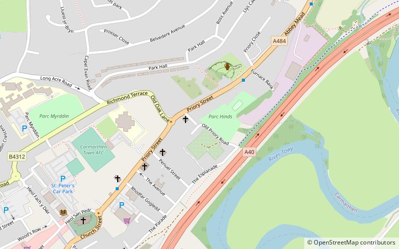
Le prieuré Carmarthen, maintenant pratiquement disparu, était une colonie monastique qui a animé la conquête normande. Il était dédié à St John the Evangelist et au celtic saint teulyddog. On pense que le livre noir de Carmarthen, un texte de la langue galloise, aurait été créé au prieuré.
Coordonnées: 51°51'38"N, 4°17'52"W
Adresse
Carmarthen
ContactAjouter
Médias sociaux
Ajouter
Accès par les transports publics
Arrêts de transport public à proximité du site
- Autobus
- Chemin de fer
 Autobus
- Déterminer l'itinéraireReservoir Road 8 min. de marche
- Déterminer l'itinéraireAbergwili Roundabout 14 min. de marche
- Déterminer l'itinéraireCarmarthen Bus Station 15 min. de marche
- Déterminer l'itinéraireGlangwili Hospital, A&E 16 min. de marche
- Déterminer l'itinéraireCarmarthen 16 min. de marche
- Déterminer l'itinéraireAbergwili Junction 24 min. de marche
Excursions d'une journée
Carmarthen Priory – populaire dans la région (distance de cette attraction)
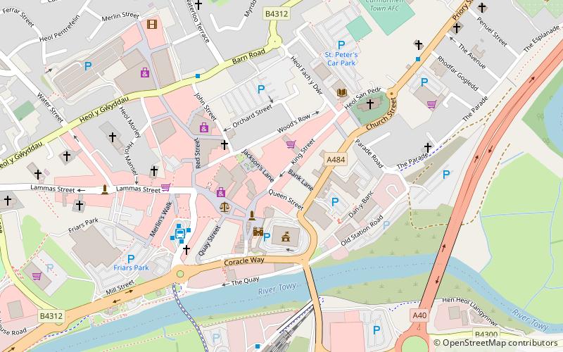
À proximité, vous trouverez notamment des attractions telles que : Richmond Park, Carmarthen Castle, St Peter's Church, English Baptist Church.


Foire aux questions (FAQ)
Quelles sont les attractions populaires à proximité ?
Les attractions à proximité comprennent Penuel Baptist Chapel, Carmarthen (3 min. de marche), Eglwys Sant Ioan, Carmarthen (4 min. de marche), St Peter's Church, Carmarthen (8 min. de marche), Carmarthen Public Rooms, Carmarthen (11 min. de marche).
Comment s'y rendre par les transports publics ?
Stations et arrêts à proximité de Carmarthen Priory :
Autobus
Chemin de fer
Autobus
- Reservoir Road • Lignes: T1 (8 min. de marche)
- Abergwili Roundabout • Lignes: T1 (14 min. de marche)
Chemin de fer
- Carmarthen (16 min. de marche)
- Abergwili Junction (24 min. de marche)