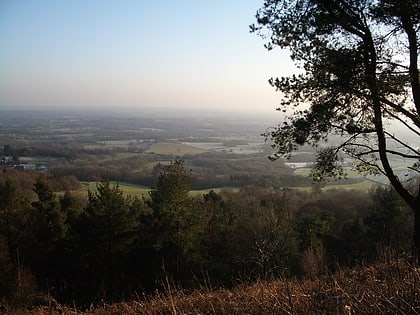
Wotton and Abinger Commons, Dorking
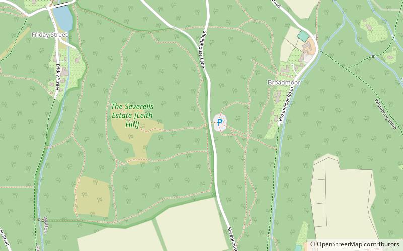

Faits et informations pratiques
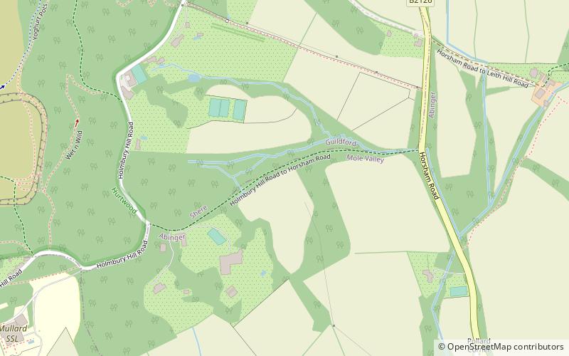
Wotton et Abinger Commons sont une réserve naturelle de 324 hectares au sud-ouest de Dorking à Surrey. Il est géré par le Surrey Wildlife Trust. Une partie de celle-ci se trouve dans le site de Leith Hill d'intérêt scientifique spécial
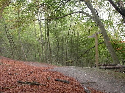
Abinger Common, qui était auparavant une lande de pâturage, est un bois avec un chêne sessile dominant et une couche d'arbuste de houx et de coiffure. Wotton Common a de nombreux chemins et brides à travers les prairies calcaires, la lande et les bois.
Le site a plusieurs entrées répertoriées sur le site Web de la réserve.
Dorking
Wotton and Abinger Commons – populaire dans la région (distance de cette attraction)
À proximité, vous trouverez notamment des attractions telles que : Leith Hill, Piney Copse, Holmbury Hill, St Martin's Church.
Foire aux questions (FAQ)
Comment s'y rendre par les transports publics ?
Autobus
- Friday Street Turning • Lignes: 22, 32 (19 min. de marche)
- Feldmore Corner • Lignes: 22, 32 (27 min. de marche)


