Mapperley, Nottingham
Carte

Carte

Faits et informations pratiques
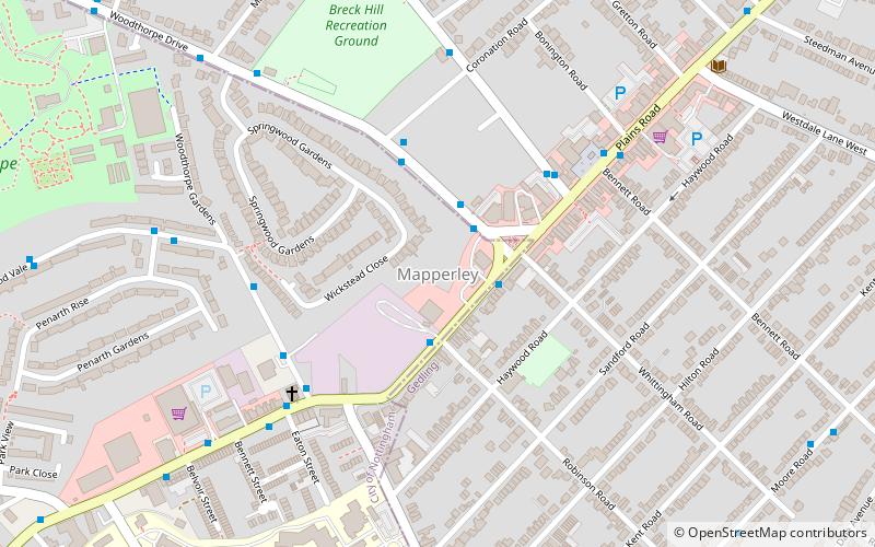
Mappeley est une zone résidentielle et commerciale du nord-est de Nottingham, en Angleterre. La zone est délimitée par Sherwood au nord-ouest, Thorneywood au sud et gedling à l'est.
Coordonnées: 52°58'59"N, 1°7'29"W
Adresse
MapperleyNottingham
ContactAjouter
Médias sociaux
Ajouter
Excursions d'une journée
Mapperley – populaire dans la région (distance de cette attraction)
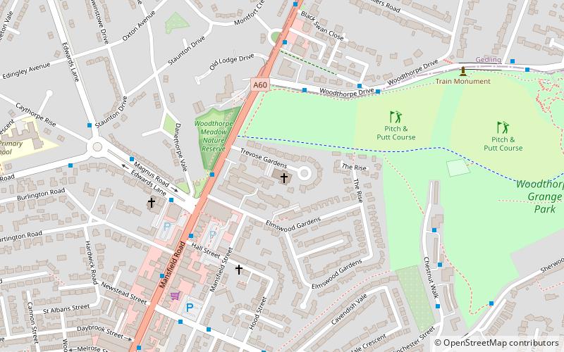
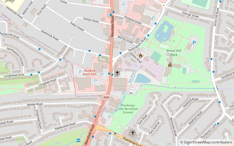
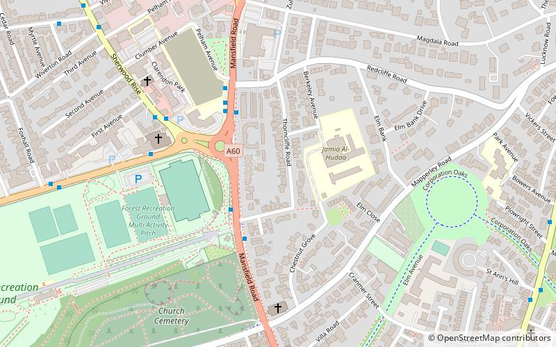
À proximité, vous trouverez notamment des attractions telles que : St Paul's Church, Woodthorpe Grange Park, St Andrew's Church, St Jude's Church.
Foire aux questions (FAQ)
Quelles sont les attractions populaires à proximité ?
Les attractions à proximité comprennent Mapperley Methodist Church, Nottingham (4 min. de marche), Woodthorpe Grange Park, Nottingham (13 min. de marche), St Jude's Church, Nottingham (18 min. de marche), St Martin's Church, Nottingham (19 min. de marche).
Comment s'y rendre par les transports publics ?
Stations et arrêts à proximité de Mapperley :
Autobus
Autobus
- Whittingham Road • Lignes: 45, 46, 47, N27 (2 min. de marche)
- Robinson Road • Lignes: 45, 46, 47, L9 (2 min. de marche)


