Selly Park, Birmingham
Carte
Faits et informations pratiques
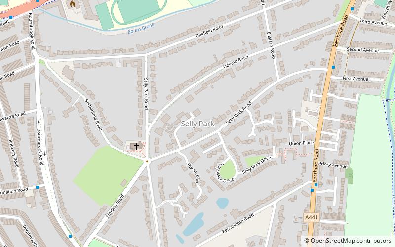
Selly Park est un district de banlieue résidentiel dans le sud-ouest de Birmingham, en Angleterre. La banlieue de Selly Park est située entre la route de Bristol et la route Pershore.
Coordonnées: 52°26'39"N, 1°55'14"W
Adresse
Selly OakBirmingham
ContactAjouter
Médias sociaux
Ajouter
Accès par les transports publics
Arrêts de transport public à proximité du site
- Autobus
- Chemin de fer
 Autobus
- Déterminer l'itinéraireBristol Rd / Edgbaston Park Rd 9 min. de marche
- Déterminer l'itinéraireSelly Oak 17 min. de marche
- Déterminer l'itinéraireUniversity 22 min. de marche
- Déterminer l'itinéraireBournville 31 min. de marche
Excursions d'une journée
Selly Park – populaire dans la région (distance de cette attraction)
À proximité, vous trouverez notamment des attractions telles que : Edgbaston Cricket Ground, Cadbury World, Lapworth Museum of Geology, Cannon Hill Park.


Foire aux questions (FAQ)
Quelles sont les attractions populaires à proximité ?
Les attractions à proximité comprennent St Stephen's Church, Birmingham (4 min. de marche), St Edward's Church, Birmingham (9 min. de marche), Chad Brook, Birmingham (11 min. de marche), Equestrian statue of George I, Birmingham (13 min. de marche).
Comment s'y rendre par les transports publics ?
Stations et arrêts à proximité de Selly Park :
Autobus
Chemin de fer
Autobus
- Bristol Rd / Edgbaston Park Rd • Lignes: 63 (9 min. de marche)
Chemin de fer
- Selly Oak (17 min. de marche)
- University (22 min. de marche)