Newcastle Reform Synagogue, Newcastle upon Tyne
Faits et informations pratiques
La synagogue de réforme de Newcastle, également connue sous son nom hébreu Ner Tamid, est membre du mouvement pour le judaïsme de la réforme. Il est situé à Gosforth à Newcastle-Upon-Tyne.
La communauté a été fondée en 1963 par des enfants de réfugiés juifs européens. Après qu'une vingtaine de familles aient montré l'intérêt de l'année précédente dans la formation d'une congrégation de réforme, une assistance a été recherchée dans la synagogue de réforme la plus proche, la synagogue du Sinaï, Leeds, qui ont prêté un rouleau de la Torah et quelques livres de prière. Les services ont eu lieu dans des maisons, des salles d'école et des salles d'église.
En 1963, la congrégation nouvellement formée a acheté une chapelle méthodiste à Derby Street, Off Barrack Road, à Newcastle. Cela a été converti en synagogue, salle de fonction, salles d'école et appartement d'un gardien, et la congrégation a grandi. Cependant, onze ans plus tard, la congrégation a été servie avec un bon de commande obligatoire et a dû abandonner le bâtiment. Pendant les dix prochaines années, la communauté a organisé des services réguliers comme auparavant, dans les maisons, les salles scolaires et les salles d'église. Les hauts jours saints, il a utilisé les chambres du conseil municipal de Newcastle.
La synagogue actuelle spécialement conçue a été achevée en 1982. Un cimetière dédié à North Shields a une maison de prière, avec des installations pour Tahara.
KentonNewcastle upon Tyne
- Autobus
- Métro léger
 Autobus
- Déterminer l'itinéraireHigh Street-Rosewood Terrace-S/B 21 min. de marche
- Déterminer l'itinéraireGosforth High Street 21 min. de marche
- Déterminer l'itinéraireGreat North Road 22 min. de marche
- Déterminer l'itinéraireFawdon 21 min. de marche
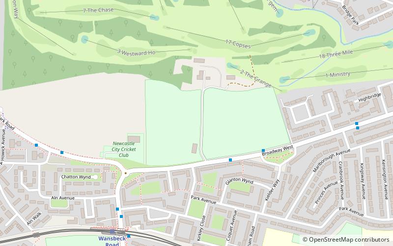
- Déterminer l'itinéraireWansbeck Road 22 min. de marche
- Déterminer l'itinéraireRegent Centre 26 min. de marche
- Déterminer l'itinéraireIlford Road 30 min. de marche
Newcastle Reform Synagogue – populaire dans la région (distance de cette attraction)
À proximité, vous trouverez notamment des attractions telles que : Exhibition Park, Gosforth Central Park, Gosforth Golf Club, Moorbank Botanic Gardens.


Foire aux questions (FAQ)
Quelles sont les attractions populaires à proximité ?
Comment s'y rendre par les transports publics ?
Autobus
- High Street-Rosewood Terrace-S/B • Lignes: 33, 54 (21 min. de marche)
- Gosforth High Street • Lignes: 33, 54 (21 min. de marche)
Métro léger
- Fawdon • Lignes: Green (21 min. de marche)
- Wansbeck Road • Lignes: Green (22 min. de marche)