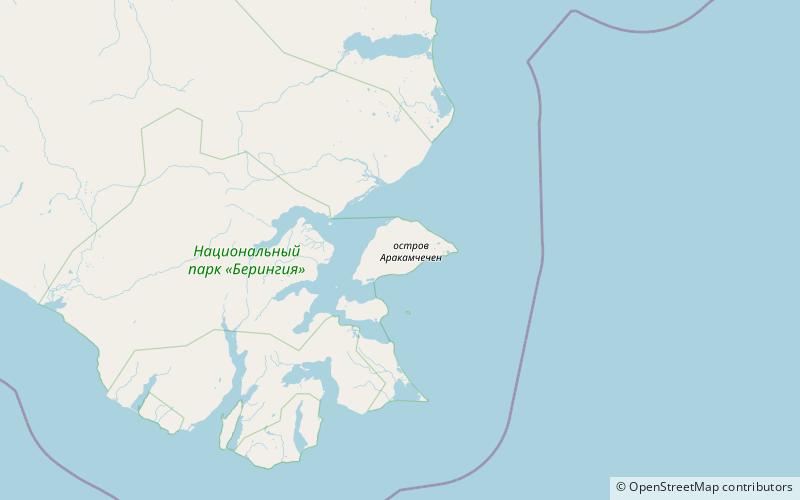
Île Arakamchechen, Parc national de Béringie

Galerie (1)
Carte
Carte
Faits et informations pratiques
L'île Arakamchechen est une île russe de la mer de Béring. ()
Nom local: Аракамчечен Superficie: 103.4 mi²Élévation maximale: 2011 ftCoordonnées: 64°45'32"N, 172°22'52"W
Adresse
Parc national de Béringie
ContactAjouter
Médias sociaux
Ajouter