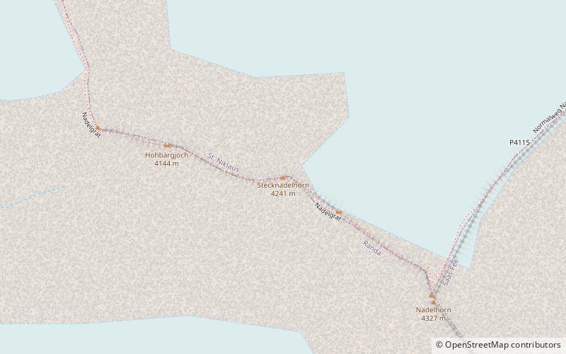
Stecknadelhorn

Galerie (1)
Carte
Carte
Faits et informations pratiques
Le Stecknadelhorn est un sommet des Alpes valaisannes qui culmine à 4 239 mètres d'altitude dans le massif des Mischabels. ()
Autres noms: Première ascension: 1887Altitude: 13914 ftLa proéminence du sommet: 75 ftCoordonnées: 46°6'41"N, 7°51'34"E
Localisation
Valais
ContactAjouter
Médias sociaux
Ajouter
Excursions d'une journée


