Bayerischer Plöckenstein, Parc national de Šumava

Galerie (1)
Carte
Carte
Faits et informations pratiques
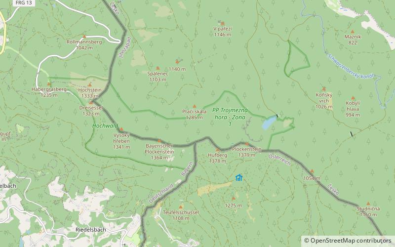
Le Bayerischer Plöckenstein en allemand, ou la Trojmezná hora en tchèque, est une montagne culminant à 1 363 mètres d'altitude dans la forêt de Bavière, contrefort de la forêt de Bohême, à la frontière entre l'Allemagne et la République tchèque. ()