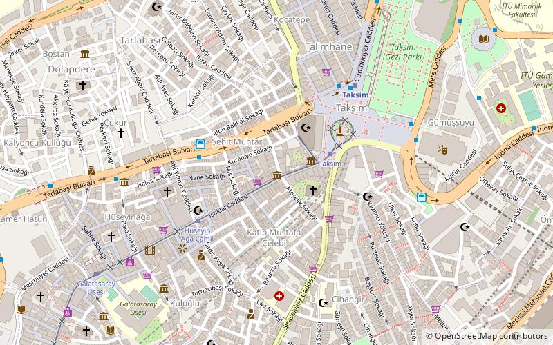
Stade Recep-Tayyip-Erdoğan, Istanbul
Carte
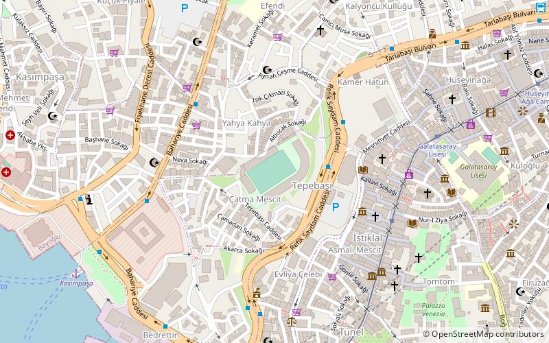
Galerie
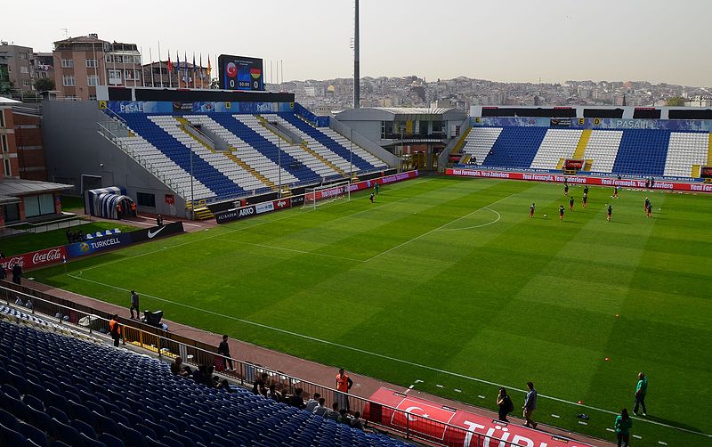
Faits et informations pratiques
Nom local: Recep Tayyip Erdoğan Stadyumu Ouvert: 2005 (il y a 21 ans)Capacité: 14.2 milleCoordonnées: 41°1'58"N, 28°58'21"E
Adresse
Çatma Mescit Mah. Tepebaşı Cad. No:11Beyoğlu (Çatma Mescit)Istanbul 34430
Contact
+90 212 238 22 42
Médias sociaux
Excursions d'une journée
Stade Recep-Tayyip-Erdoğan – populaire dans la région (distance de cette attraction)
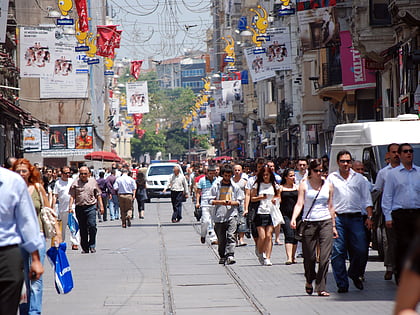
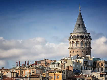
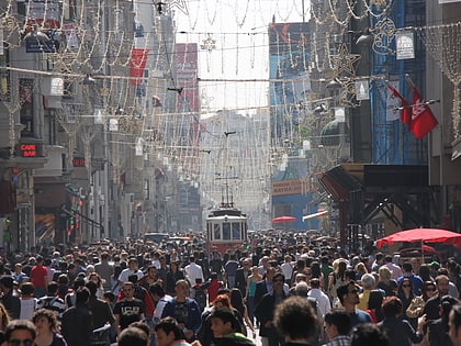
À proximité, vous trouverez notamment des attractions telles que : Avenue İstiklal, Tour de Galata, Beyoğlu, Musée de Galatasaray SK.
Foire aux questions (FAQ)
Quelles sont les attractions populaires à proximité ?
Les attractions à proximité comprennent Musée Pera, Istanbul (5 min. de marche), Surp Yerrortutyun Armenian Catholic Church (5 min. de marche), Beyoğlu, Istanbul (6 min. de marche), Mısır Apartment, Istanbul (6 min. de marche).
Comment s'y rendre par les transports publics ?
Stations et arrêts à proximité de Stade Recep-Tayyip-Erdoğan :
Autobus
Trams
Chemin de fer
Ferry
Téléphérique
Autobus
- Ahmet Emin Yalman İlköğretim Okulu • Lignes: 77A (5 min. de marche)
- Kasımpaşa • Lignes: 77A (7 min. de marche)
Trams
- Odakule • Lignes: Taksim - Tünel Nostaljik Tramvay, Tünel - Taksim Nostaljik Tramvay (6 min. de marche)
- Galatasaray Lisesi • Lignes: Taksim - Tünel Nostaljik Tramvay, Tünel - Taksim Nostaljik Tramvay (7 min. de marche)
Chemin de fer
- Beyoğlu Station, Tünel Line (9 min. de marche)
- Karaköy Station, Tünel Line (18 min. de marche)
Ferry
- Eminönü (25 min. de marche)
- Eminonu Iskelesi (27 min. de marche)
Téléphérique
- Taşkışla • Lignes: TF1 Maçka - Taşkışla (31 min. de marche)
- Maçka • Lignes: TF1 Maçka - Taşkışla (36 min. de marche)

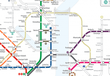 Métro
Métro