Early Streets of Brisbane, Brisbane
Mapa

Galeria

Fakty i informacje praktyczne
The Early Streets of Brisbane to wpisane na listę dziedzictwa kulturowego stanowisko archeologiczne na odcinkach Albert Street, George Street, William Street, North Quay i Queen's Wharf Road w mieście Brisbane, City of Brisbane, Queensland, Australia. Został zbudowany w latach 1825 i później. Został wpisany do rejestru zabytków Queensland 16 lipca 2010 roku.
Wybudowano: 1825 r. (201 lat temu)Współrzędne: 27°28'20"S, 153°1'30"E
Adres
Brisbane CityBrisbane
KontaktDodaj
Media społecznościowe
Dodaj
Wycieczki jednodniowe
Early Streets of Brisbane – popularne w okolicy (odległości od atrakcji)
W pobliżu znajdują się m.in. takie atrakcje jak Queen Street Mall, QueensPlaza, The Myer Centre, Brisbane Arcade.
Często zadawane pytania (FAQ)
Jakie popularne atrakcje znajdują się w pobliżu?
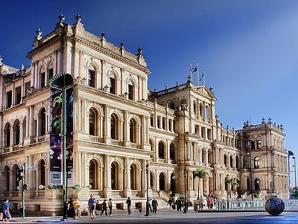
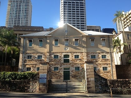
Do pobliskich atrakcji należą m.in. Land Administration Building, Brisbane (1 min spacerem), First World War Honour Board, Brisbane (1 min spacerem), Queens Gardens, Brisbane (2 min spacerem), Treasury Casino, Brisbane (2 min spacerem).
Jak dojechać transportem publicznym?
Stacje i przystanki znajdujące się w pobliżu lokalizacji Early Streets of Brisbane:
Autobusy
Prom
Kolej
Autobusy
- Elizabeth Street Stop 81 near George St • Linie: P151, P205 (2 min spacerem)
- George Street Stop 116 • Linie: N100, N339 (3 min spacerem)
Prom
- North Quay 2 • Linie: Chop-400 (4 min spacerem)
- North Quay 1 • Linie: Chop-400, Uqsl-1410 (5 min spacerem)
Kolej
- Central (12 min spacerem)
- Roma Street (17 min spacerem)


