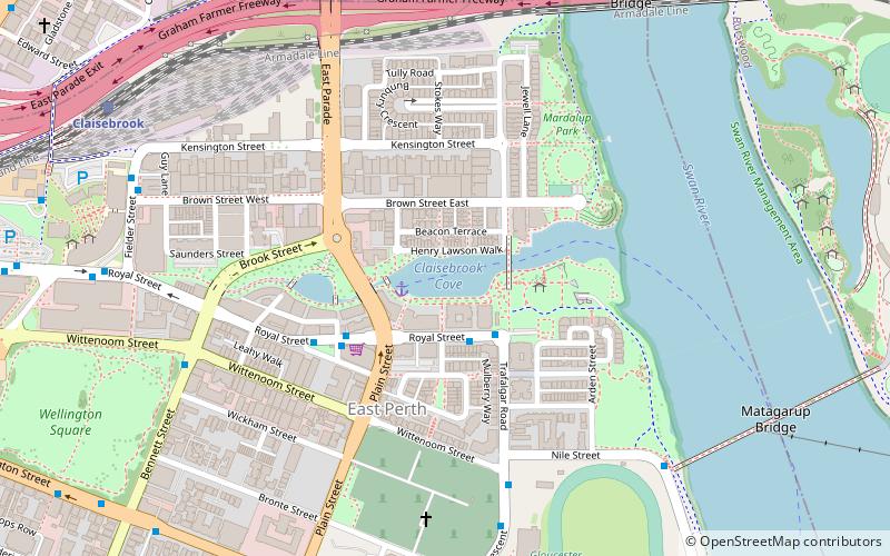
Claisebrook Road, Perth
Mapa
Fakty i informacje praktyczne
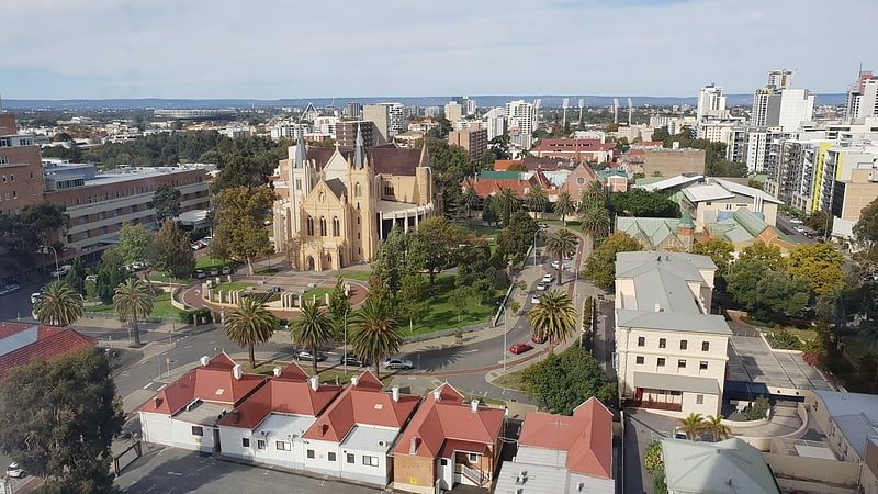
Claisebrook Road to droga w Perth w Zachodniej Australii, która pierwotnie biegła między Summers Street na północy a Wittenoom St, East Perth na południu.
Współrzędne: 31°56'48"S, 115°52'24"E
Adres
East PerthPerth
KontaktDodaj
Media społecznościowe
Dodaj
Dojazd komunikacją publiczną
Przystanki transportu publicznego w pobliżu tego miejsca
- Autobusy
- Kolej
- Prom
 Autobusy
- Wyznacz trasęClaisebrook 5 min spacerem
- Wyznacz trasęEast Perth 8 min spacerem
- Wyznacz trasęMcIver 14 min spacerem
- Wyznacz trasęPerth 21 min spacerem
- Wyznacz trasęClaisebrook Station 9 min spacerem
- Wyznacz trasęEast Perth TAFE 10 min spacerem
- Wyznacz trasęEducational Department 10 min spacerem
- Wyznacz trasęRoyal Street Car Park 11 min spacerem
- Wyznacz trasęBarrack Street Jetty 33 min spacerem
- Wyznacz trasęElizabeth Quay Ferry Terminal 33 min spacerem
Wycieczki jednodniowe
Claisebrook Road – popularne w okolicy (odległości od atrakcji)
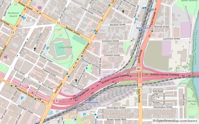
W pobliżu znajdują się m.in. takie atrakcje jak Art Gallery of Western Australia, Western Australian Museum, Mennica, Archikatedra Najświętszej Maryi Panny.


Często zadawane pytania (FAQ)
Jakie popularne atrakcje znajdują się w pobliżu?
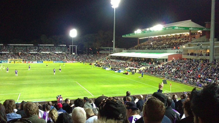
Do pobliskich atrakcji należą m.in. Perth Oval, Perth (6 min spacerem), Graham Farmer Freeway, Perth (8 min spacerem), Claisebrook Cove, Perth (13 min spacerem), Wellington Square, Perth (14 min spacerem).
Jak dojechać transportem publicznym?
Stacje i przystanki znajdujące się w pobliżu lokalizacji Claisebrook Road:
Kolej
Autobusy
Prom
Kolej
- Claisebrook (5 min spacerem)
- East Perth (8 min spacerem)
Autobusy
- Claisebrook Station • Linie: 3F, 3T (9 min spacerem)
- East Perth TAFE • Linie: 3F, 3T (10 min spacerem)
Prom
- Barrack Street Jetty • Linie: Express (33 min spacerem)
- Elizabeth Quay Ferry Terminal • Linie: Transperth Ferry - Elizabeth Qua, Transperth Ferry - Mends Street (33 min spacerem)