Avenue des Ternes, Paryż
Mapa
Galeria
Fakty i informacje praktyczne
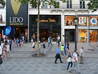
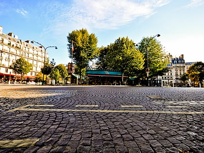
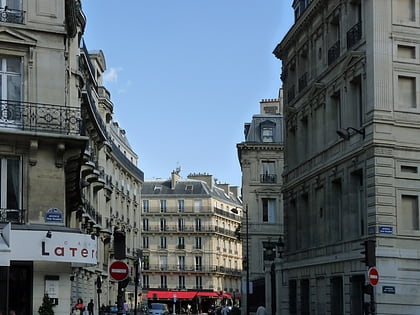
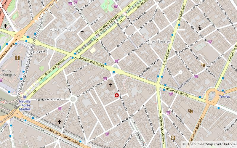
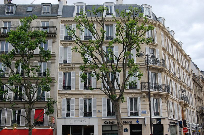
Avenue des Ternes to aleja w 17. okręgu paryskim, między Place des Ternes a bulwarem Gouvion-Saint-Cyr. Ma 920 m długości i 35 m szerokości, a obecną nazwę nadano jej w 1863 roku. Znajduje się po obu stronach Place Tristan-Bernard.
Adres
Batignolles-Monceau (Ternes)Paryż
KontaktDodaj
Media społecznościowe
Dodaj
Wycieczki jednodniowe
Avenue des Ternes – popularne w okolicy (odległości od atrakcji)
W pobliżu znajdują się m.in. takie atrakcje jak Łuk Triumfalny, Place Charles de Gaulle, Le Queen, Lido.
Często zadawane pytania (FAQ)
Jakie popularne atrakcje znajdują się w pobliżu?
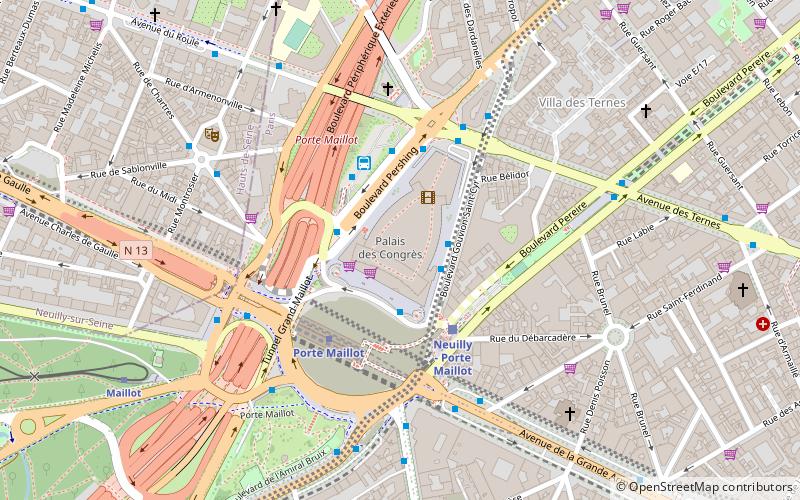
Do pobliskich atrakcji należą m.in. Place des Ternes, Paryż (8 min spacerem), Porte Maillot, Paryż (9 min spacerem), Palais des congrès de Paris, Paryż (10 min spacerem), Rue de Tilsitt, Paryż (11 min spacerem).
Jak dojechać transportem publicznym?
Stacje i przystanki znajdujące się w pobliżu lokalizacji Avenue des Ternes:
Autobusy
Metro
Kolej
Tramwaje
Prom
Autobusy
- Église Saint-Ferdinand • Linie: 43 (1 min spacerem)
- Ternes - Mac Mahon • Linie: 341, 92 (4 min spacerem)
Metro
- Argentine • Linie: 1 (7 min spacerem)
- Ternes • Linie: 2 (10 min spacerem)
Kolej
- Neuilly - Porte Maillot (9 min spacerem)
- Charles de Gaulle – Étoile (10 min spacerem)
Tramwaje
- Porte d'Asnières-Marguerite Long • Linie: T3b (24 min spacerem)
- Porte de Clichy • Linie: T3b (38 min spacerem)
Prom
- Port des Champs-Elysées • Linie: Batobus (39 min spacerem)
 Metro
Metro

