Saint-Ismier


Fakty i informacje praktyczne
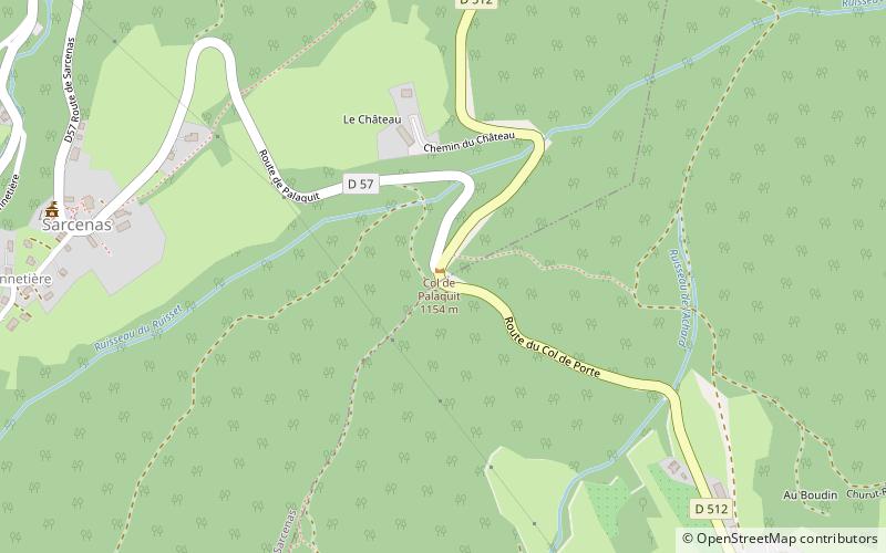
Położona w malowniczym regionie Owernia-Rodan-Alpy we Francji, gmina Saint-Ismier zachwyca swoją historią oraz naturalnym pięknem. Znajdująca się u stóp pasma górskiego Belledonne, miejscowość oferuje niezapomniane widoki i spokojną atmosferę, doskonałe na relaksujące wakacje.
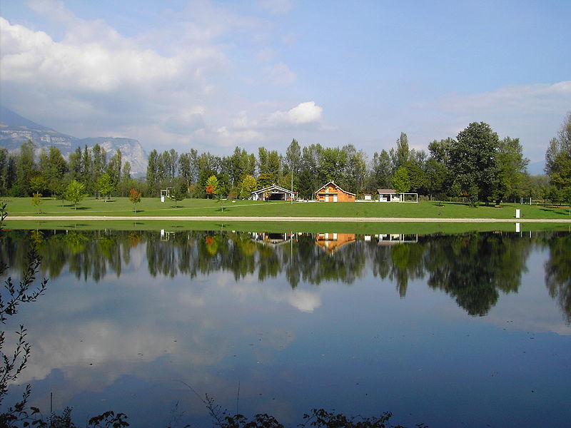
Osoby odwiedzające Saint-Ismier mogą cieszyć się urokami wiejskich terenów, z pagórkowatymi krajobrazami i bujnymi lasami, co czyni to miejsce idealnym dla miłośników natury i aktywności na świeżym powietrzu. Dostępne są szlaki turystyczne i rowerowe, które prowadzą przez okoliczne tereny, oferując możliwości do odkrywania i przygód. Niedaleka rzeka Isère zapewnia spokojne miejsce do wędkowania, piknikowania oraz relaksujących spacerów wzdłuż jej brzegów.
Oprócz swojego uroku naturalnego, Saint-Ismier może pochwalić się także bogactwem zabytków historycznych i kulturalnych. Centralny plac miasta kryje w sobie piękną świątynię oraz kilka uroczych kawiarni i sklepów, gdzie turyści mogą poczuć lokalny klimat i spróbować tradycyjnej kuchni francuskiej. Niedaleki Château de la Condamine, historyczny zamek sięgający XIII wieku, oferuje fascynującą podróż w przeszłość regionu.
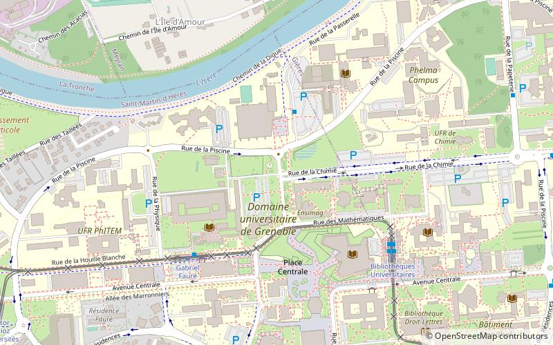
Dla miłośników aktywności na świeżym powietrzu, Saint-Ismier oferuje szeroki wybór opcji, takich jak wspinaczka skalna, paralotniarstwo oraz narciarstwo zimowe. Bliskość tętniącego życiem miasta Grenoble zapewnia również łatwy dostęp do różnorodnych atrakcji kulturalnych, takich jak muzea, teatry i galerie sztuki.
Owernia-Rodan-Alpy