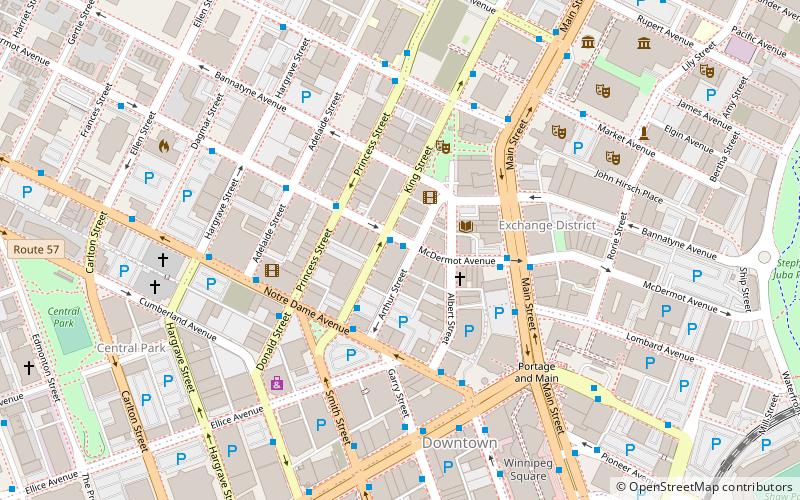
Winnipeg Route 57, Winnipeg
Mapa
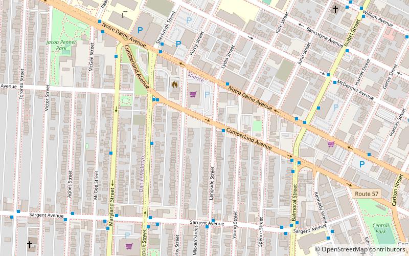
Mapa

Fakty i informacje praktyczne
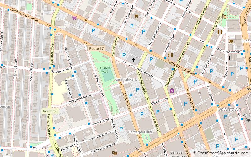
Route 57 to główna droga znajdująca się w Winnipegu, w stanie Manitoba. Łączy ona przedmieścia St. James i St. Boniface z West End i centrum miasta.
Współrzędne: 49°53'56"N, 97°9'22"W
Adres
Central Winnipeg (Spence)Winnipeg
KontaktDodaj
Media społecznościowe
Dodaj
Wycieczki jednodniowe
Winnipeg Route 57 – popularne w okolicy (odległości od atrakcji)
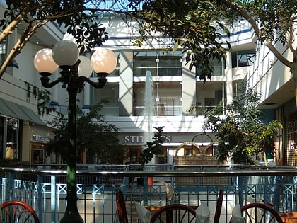
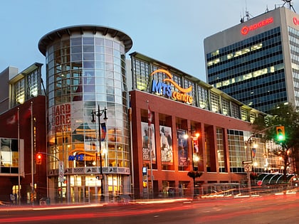
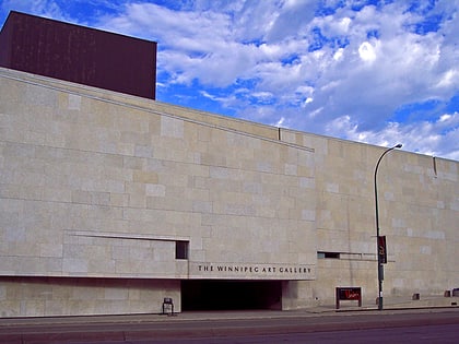
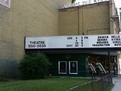
W pobliżu znajdują się m.in. takie atrakcje jak Portage Place, Canada Life Centre, Winnipeg Art Gallery, Burton Cummings Theatre.
Często zadawane pytania (FAQ)
Jakie popularne atrakcje znajdują się w pobliżu?
Do pobliskich atrakcji należą m.in. Central Park, Winnipeg (12 min spacerem), Gallery 1C03, Winnipeg (13 min spacerem), Centennial, Winnipeg (14 min spacerem), Winnipeg Centre, Winnipeg (15 min spacerem).
Jak dojechać transportem publicznym?
Stacje i przystanki znajdujące się w pobliżu lokalizacji Winnipeg Route 57:
Autobusy
Kolej
Autobusy
- Eastbound Cumberland at Langside • Linie: 19 (1 min spacerem)
- Westbound Notre Dame at Lydia • Linie: 19 (3 min spacerem)
Kolej
- Winnipeg Union Station (31 min spacerem)

