Chiapas highlands, San Cristóbal de las Casas

Galeria (1)
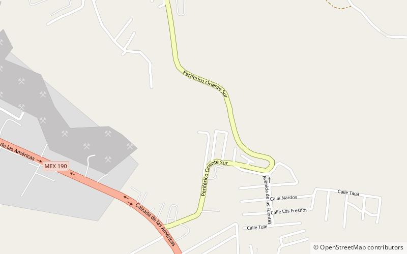
Mapa
Mapa
Fakty i informacje praktyczne
Wyżyna Chiapas, znana również jako Central Highlands of Chiapas lub Chiapas Plateau, to region geograficzny, społeczno-kulturowy i administracyjny położony w stanie Chiapas, najbardziej wysuniętym na południe stanie Meksyku.
Adres
San Cristóbal de las Casas
KontaktDodaj
Media społecznościowe
Dodaj
Wycieczki jednodniowe


