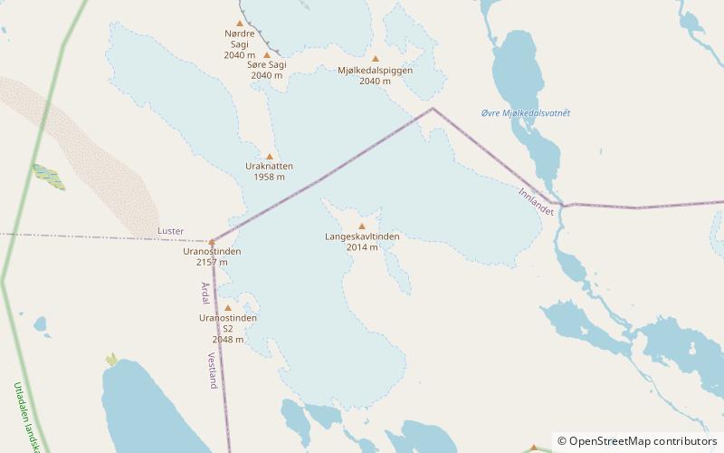
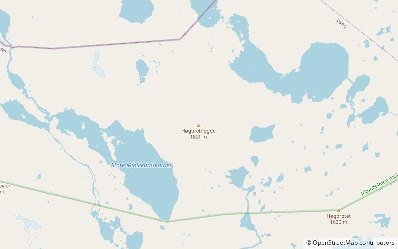
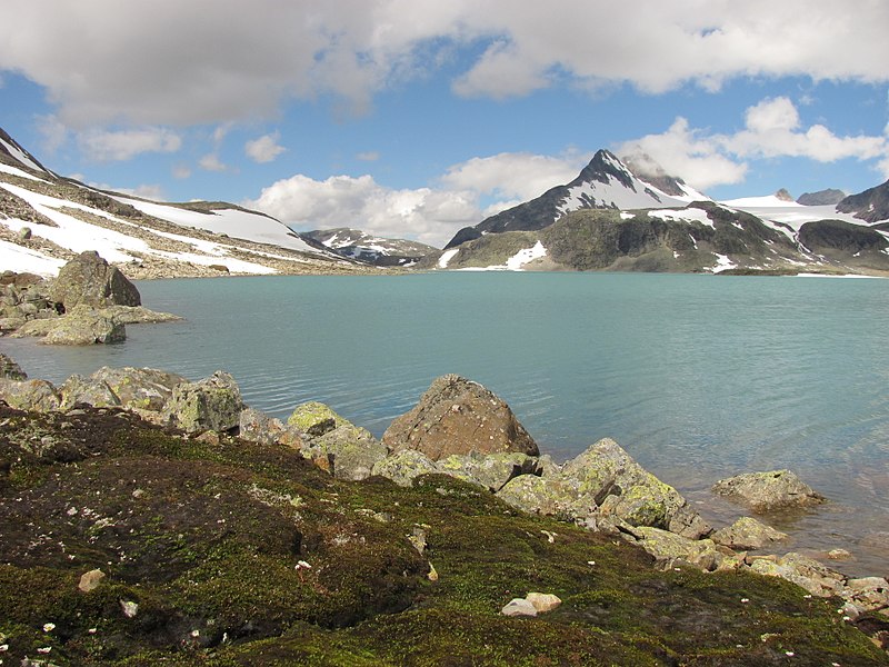
Urdanostindene, Park Narodowy Jotunheimen

Galeria (2)
Mapa
Mapa
Galeria
Fakty i informacje praktyczne
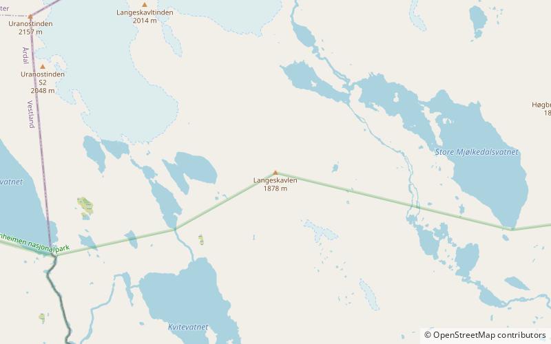
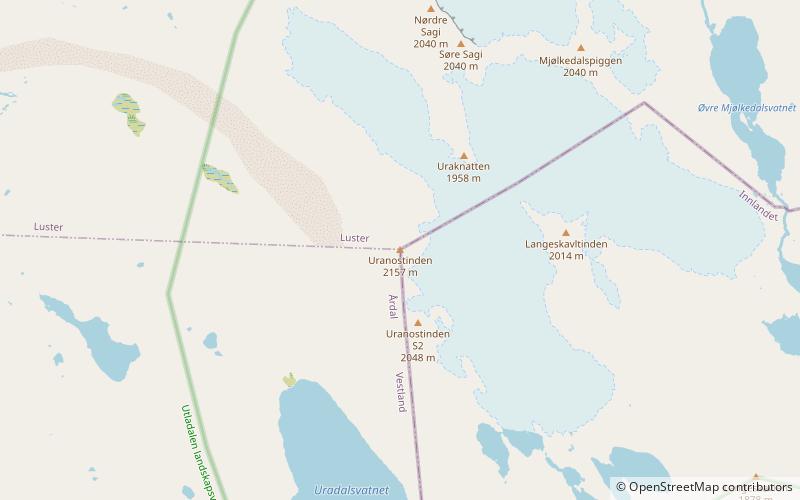
Urdanostindene to góra w Opplandzie, w południowej Norwegii. Główny szczyt jest punktem granicznym między gminami Luster i Årdal w Vestland, a Vang w Innlandet, Norwegia.
Adres
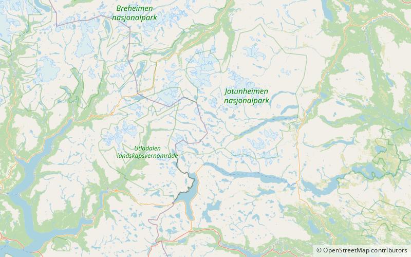
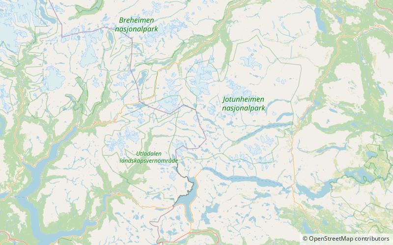
Park Narodowy Jotunheimen
KontaktDodaj
Media społecznościowe
Dodaj
Wycieczki jednodniowe