Ucayali moist forests, Park Narodowy Cordillera Azul

Galeria (1)
Mapa
Mapa
Fakty i informacje praktyczne
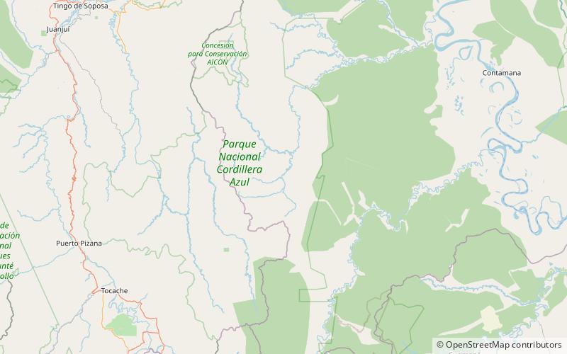
Wilgotne lasy Ucayali to ekoregion w zachodniej części puszczy amazońskiej w Peru.
Współrzędne: 7°45'7"S, 75°51'14"W
Adres
Park Narodowy Cordillera Azul
KontaktDodaj
Media społecznościowe
Dodaj