Arkansas River Trail System, Little Rock

Mapa
Fakty i informacje praktyczne
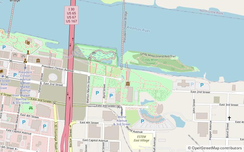
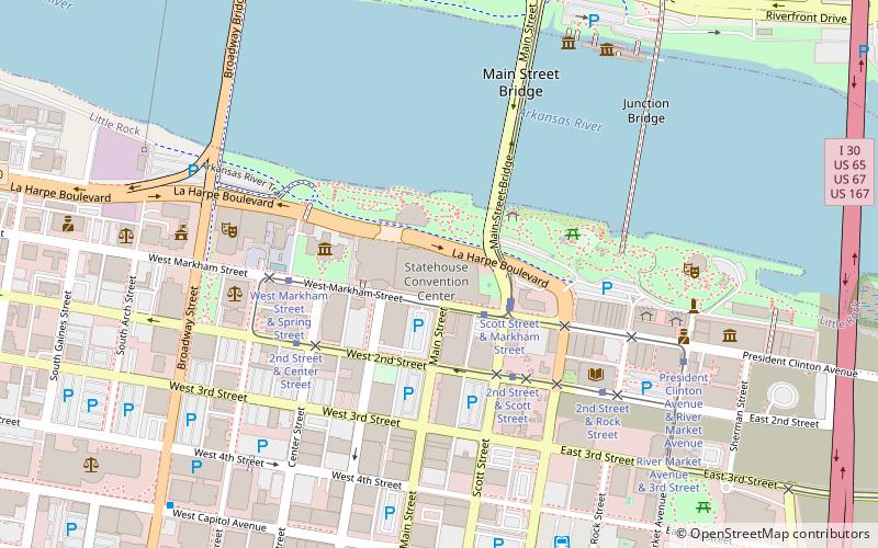
Arkansas River Trail to szlak kolejowy, który biegnie przez 17 mil wzdłuż obu brzegów rzeki Arkansas w środkowym Arkansas.
Długość: 14 miWysokość: 262 ft n.p.m.Współrzędne: 34°44'48"N, 92°15'32"W
Adres
1200 President Clinton AveDowntown Little RockLittle Rock
Kontakt
Media społecznościowe
Dodaj
Wycieczki jednodniowe
Arkansas River Trail System – popularne w okolicy (odległości od atrakcji)
W pobliżu znajdują się m.in. takie atrakcje jak William J. Clinton Presidential Center and Park, Simmons Bank Arena, Dickey-Stephens Park, Statehouse Convention Center.
Często zadawane pytania (FAQ)
Jakie popularne atrakcje znajdują się w pobliżu?
Do pobliskich atrakcji należą m.in. William J. Clinton Presidential Center and Park, Little Rock (1 min spacerem), Witt Stephens Jr. Central Arkansas Nature Center, Little Rock (8 min spacerem), Arkansas Museum of Discovery, Little Rock (9 min spacerem), Arkansas II, Little Rock (10 min spacerem).
Jak dojechać transportem publicznym?
Stacje i przystanki znajdujące się w pobliżu lokalizacji Arkansas River Trail System:
Tramwaje
Autobusy
Tramwaje
- World Avenue & 3rd Street • Linie: Blue, Green (4 min spacerem)
- President Clinton Avenue & River Market Avenue • Linie: Blue, Green (10 min spacerem)
Autobusy
- Central Arkansas Transit Authority Bus Terminal (15 min spacerem)
- Greyhound.. Little Rock. AR (18 min spacerem)


