Park stanowy Lewis and Clark Caverns

Galeria (3)
Mapa
Mapa
Galeria
Fakty i informacje praktyczne
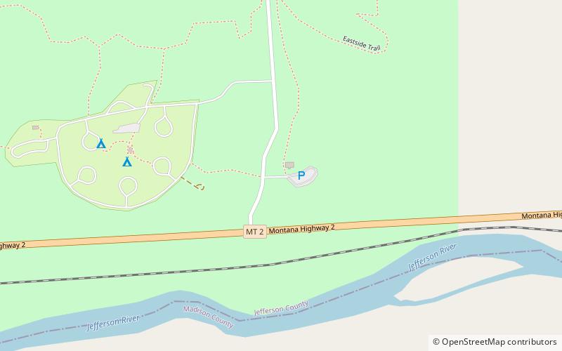
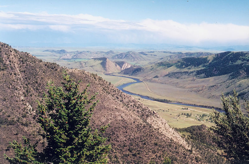
Park Stanowy Lewis and Clark Caverns to publiczny obszar rekreacyjny i ochrony przyrody o powierzchni 3000 akrów, położony dwanaście mil na wschód od Whitehall w hrabstwie Jefferson w stanie Montana. W parku znajdują się dwa centra dla zwiedzających, dziesięć mil szlaków turystycznych, pole namiotowe oraz jaskinie wapienne, których nazwa pochodzi od tego miejsca. W 2018 roku Lewis and Clark Caverns Historic District został wpisany do National Register of Historic Places.
Ustanowiono: 1935 r. (91 lat temu)Współrzędne: 45°49'22"N, 111°51'4"W