Lower Haight, San Francisco
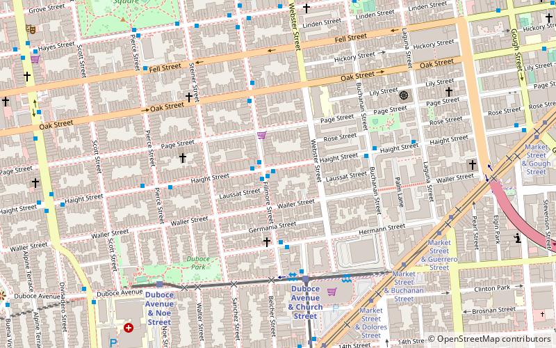
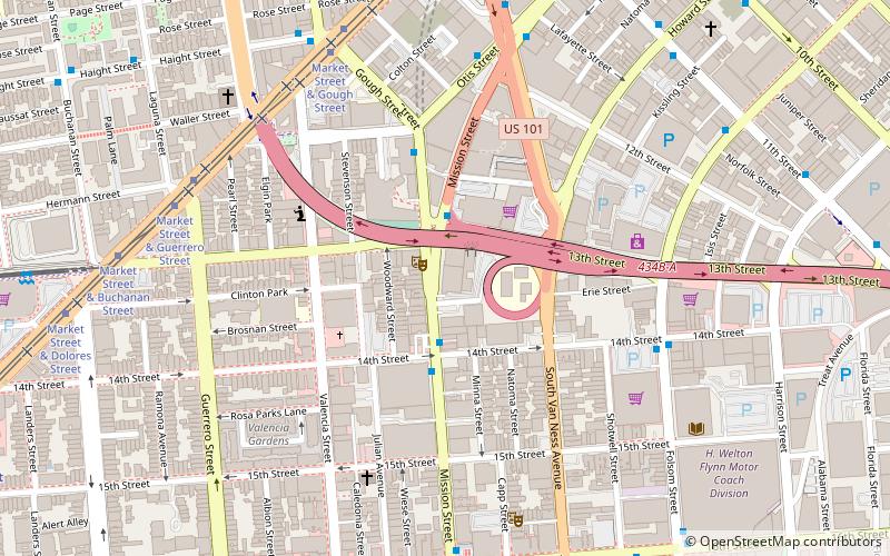
Mapa
Fakty i informacje praktyczne
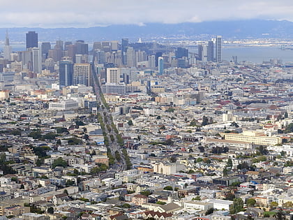
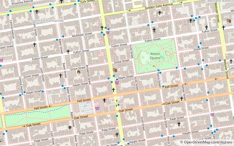
The Lower Haight to dzielnica, czasami określana jako Haight-Fillmore, w San Francisco w Kalifornii.
Powierzchnia: 190.72 akry (0.298 mi²)Współrzędne: 37°46'19"N, 122°25'48"W
Adres
Northwest San Francisco (Lower Haight)San Francisco
Kontakt
Media społecznościowe
Dodaj
Wycieczki jednodniowe
Lower Haight – popularne w okolicy (odległości od atrakcji)
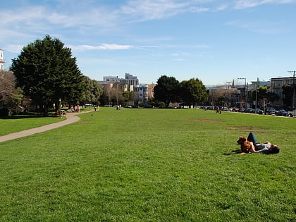
W pobliżu znajdują się m.in. takie atrakcje jak Painted Ladies, Wiggle Bicycles, Alamo Square, Market Street.
Często zadawane pytania (FAQ)
Jakie popularne atrakcje znajdują się w pobliżu?
Do pobliskich atrakcji należą m.in. Duboce Park Landmark District, San Francisco (6 min spacerem), Duboce Park, San Francisco (6 min spacerem), St. Francis Lutheran Church, San Francisco (7 min spacerem), San Francisco Zen Center, San Francisco (7 min spacerem).
Jak dojechać transportem publicznym?
Stacje i przystanki znajdujące się w pobliżu lokalizacji Lower Haight:
Autobusy
Trolejbusy
Kolej miejska
Tramwaje
Metro
Kolej
Autobusy
- Fillmore Street & Haight Street • Linie: N-Owl (1 min spacerem)
- Haight Street & Fillmore Street • Linie: 7, N-Owl (1 min spacerem)
Trolejbusy
- Fillmore Street & Haight Street • Linie: 22 (1 min spacerem)
- Hermann Street & Fillmore Street • Linie: 22 (4 min spacerem)
Kolej miejska
- Duboce Avenue & Church Street • Linie: N (5 min spacerem)
- Church Street & Duboce Avenue • Linie: J (6 min spacerem)
Tramwaje
- Market Street & Buchanan Street • Linie: F (7 min spacerem)
Metro
- 16th Street Mission • Linie: Blue, Green, Red, Yellow (19 min spacerem)
- Civic Center • Linie: Blue, Green, Red, Yellow (27 min spacerem)
Kolej
- Carl Street & Cole Street (30 min spacerem)
 Muni Metro
