Chestnut Mountain, Pisgah National Forest

Galeria (1)
Mapa
Mapa
Fakty i informacje praktyczne
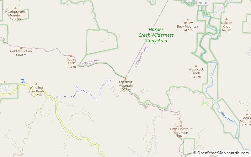
Chestnut Mountain to góra położona w Północnej Karolinie i w całości należąca do Pisgah National Forest. Jej wysokość sięga 3114 stóp, a także wyznacza granicę między hrabstwami Avery, Burke i Caldwell. Z góry wypływają strumienie zasilające rzekę Catawba.
Wysokość n.p.m.: 3314 ftWspółrzędne: 35°57'42"N, 81°48'26"W
Adres
Pisgah National Forest
KontaktDodaj
Media społecznościowe
Dodaj
Wycieczki jednodniowe


