Pine Valley Mountains, Pine Valley Mountain Wilderness

Galeria (3)
Mapa
Mapa
Galeria
Fakty i informacje praktyczne
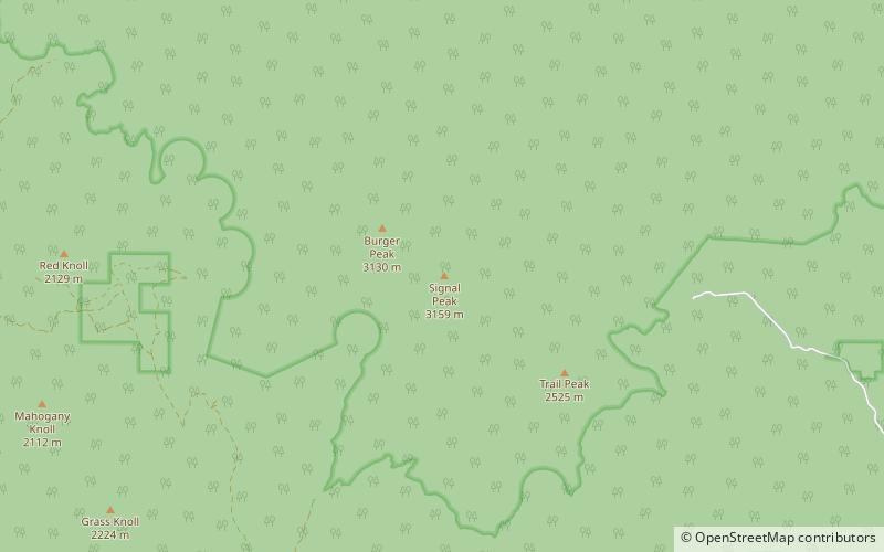
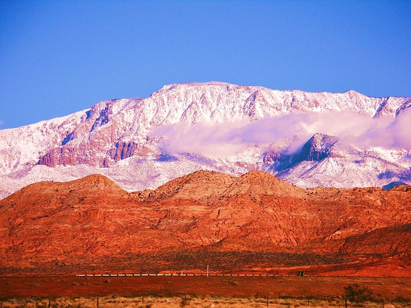
Góry Pine Valley to pasmo górskie w amerykańskim stanie Utah, rozciągające się w hrabstwie Washington na północ od miasta St. George. Najwyższym punktem w tym paśmie jest szczyt Signal Peak o wysokości 10 365 stóp. Góry są częścią Dixie National Forest, a od południa graniczą z Red Cliffs National Conservation Area.
Powierzchnia: 591 mi²Wysokość n.p.m.: 10365 ftWspółrzędne: 37°19'11"N, 113°29'31"W
Adres
Pine Valley Mountain Wilderness
KontaktDodaj
Media społecznościowe
Dodaj
Wycieczki jednodniowe


