Rhode Island Avenue Trolley Trail, College Park
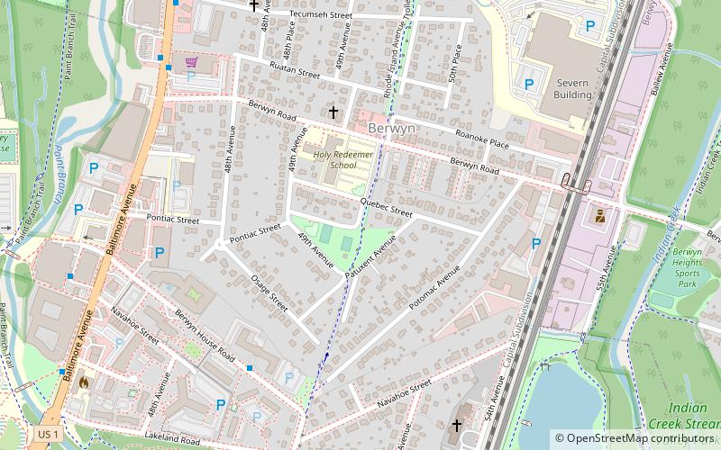
Mapa
Fakty i informacje praktyczne
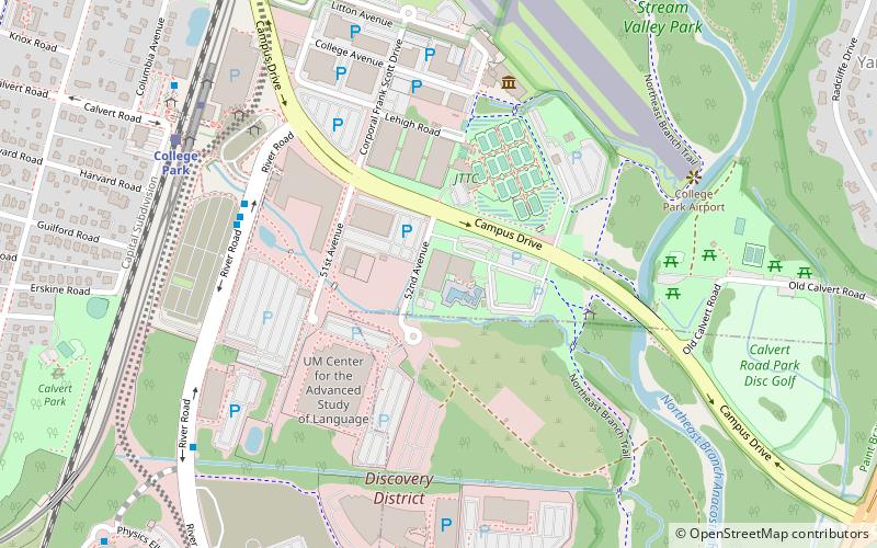
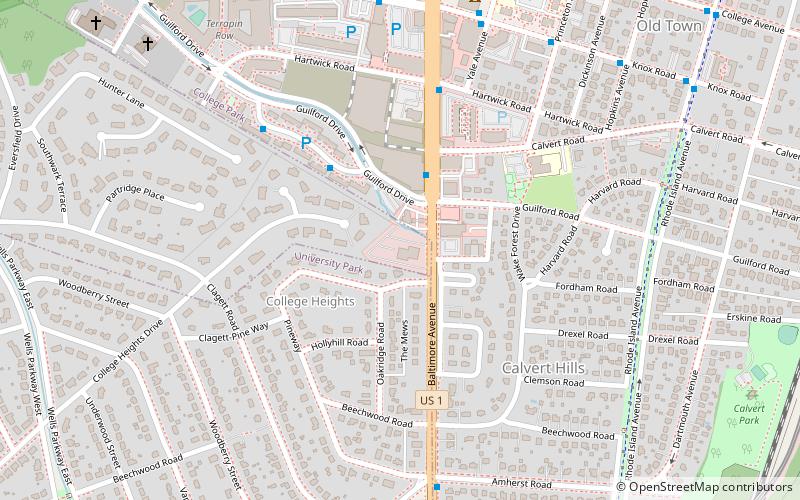
Rhode Island Avenue Trolley Trail to szlak kolejowy o długości 3,8 mil w obrębie miast College Park Maryland, Riverdale Park Maryland i Hyattsville Maryland.
Współrzędne: 38°59'36"N, 76°55'38"W
Wycieczki jednodniowe
Rhode Island Avenue Trolley Trail – popularne w okolicy (odległości od atrakcji)
W pobliżu znajdują się m.in. takie atrakcje jak Beltway Plaza, Xfinity Center, McKeldin Mall, Memorial Chapel.
Często zadawane pytania (FAQ)
Jakie popularne atrakcje znajdują się w pobliżu?
Do pobliskich atrakcji należą m.in. A. James Clark School of Engineering, College Park (16 min spacerem), Lake Artemesia, College Park (17 min spacerem), University of Maryland Arboretum & Botanical Garden, College Park (17 min spacerem), Xfinity Center, College Park (19 min spacerem).
Jak dojechać transportem publicznym?
Stacje i przystanki znajdujące się w pobliżu lokalizacji Rhode Island Avenue Trolley Trail:
Autobusy
Metro
Kolej
Autobusy
- University Club Apartments • Linie: 117, 125, 132 (6 min spacerem)
- University View • Linie: 114, 117, 125 (10 min spacerem)
Metro
- College Park–University of Maryland • Linie: Gr, Yl (27 min spacerem)
Kolej
- College Park (28 min spacerem)
- Greenbelt (36 min spacerem)

