Euclid Avenue Historic District, Cleveland
Mapa
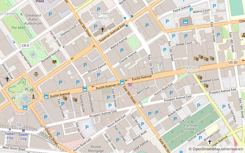
Mapa

Fakty i informacje praktyczne
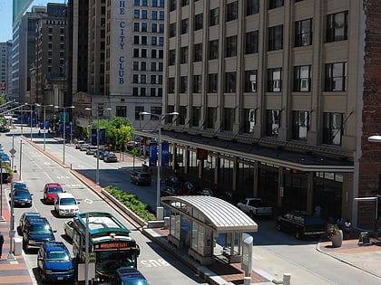
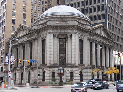
Euclid Avenue Historic District to historyczna dzielnica w centrum Cleveland w stanie Ohio w Stanach Zjednoczonych. Utworzona i wpisana na listę National Register of Historic Places w 2002 roku, obejmuje 125 akrów wzdłuż Euclid Avenue i ulic równoległych od Public Square do East 21st Street. W 2007 r. do dzielnicy dołączono kolejne 4 akry; zwiększenie granic objęło budynki położone wyłącznie wzdłuż równoległych ulic.
Współrzędne: 41°30'2"N, 81°41'12"W
Adres
Downtown Cleveland (Gateway District)Cleveland
KontaktDodaj
Media społecznościowe
Dodaj
Wycieczki jednodniowe
Euclid Avenue Historic District – popularne w okolicy (odległości od atrakcji)
W pobliżu znajdują się m.in. takie atrakcje jak Cleveland Arcade, Quicken Loans Arena, Federal Reserve Bank of Cleveland, Playhouse Square.
Często zadawane pytania (FAQ)
Jakie popularne atrakcje znajdują się w pobliżu?
Do pobliskich atrakcji należą m.in. The 925 Building, Cleveland (1 min spacerem), Cleveland Trust Company Building, Cleveland (2 min spacerem), Nine-Twelve District, Cleveland (3 min spacerem), Statler Arms Apartments, Cleveland (3 min spacerem).
Jak dojechać transportem publicznym?
Stacje i przystanki znajdujące się w pobliżu lokalizacji Euclid Avenue Historic District:
Autobusy
Kolej miejska
Metro
Kolej
Autobusy
- East 6th Street (4 min spacerem)
- East 14th Street (7 min spacerem)
Kolej miejska
- Tower City • Linie: 67Ax, 67AX Blue, Blue, Green (11 min spacerem)
- East 9th–North Coast • Linie: 67Ax, 67AX Blue, Blue, Green (15 min spacerem)
Metro
- Tower City • Linie: Red (12 min spacerem)
- West 25th–Ohio City • Linie: Red (34 min spacerem)
Kolej
- Cleveland (16 min spacerem)


