Oakland Air Route Traffic Control Center, Fremont
Fakty i informacje praktyczne
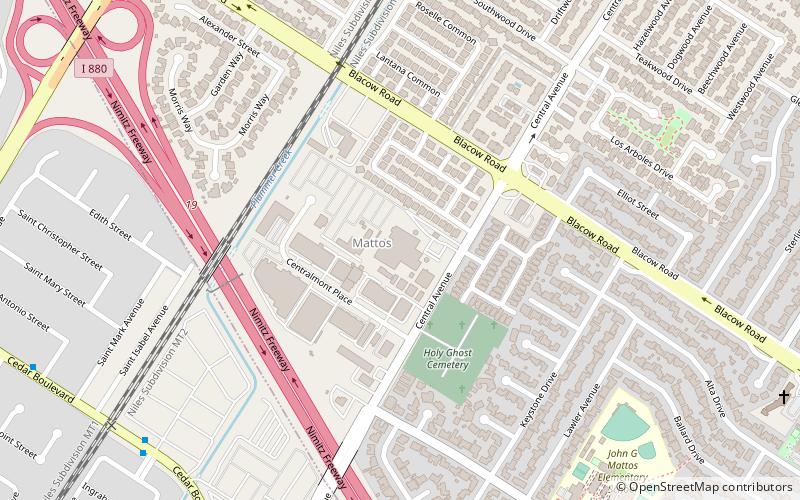
Oakland Air Route Traffic Control Center, jest jednym z 22 Centrów Kontroli Obszaru w Stanach Zjednoczonych. Mieści się przy 5125 Central Ave, we Fremont w Kalifornii, około 25 mil na południowy wschód od centrum Oakland w East Bay.
Podstawowym obowiązkiem Oakland Center jest sekwencjonowanie i separacja przelotów, przylotów i odlotów w celu zapewnienia bezpiecznego, uporządkowanego i szybkiego przepływu statków powietrznych zgłoszonych zgodnie z przepisami wykonywania lotów według wskazań przyrządów.
Oakland Center jest 16. najbardziej ruchliwym lotniskiem ARTCC w Stanach Zjednoczonych. W okresie od 1 stycznia 2017 r. do 31 grudnia 2017 r. centrum w Oakland obsłużyło 1 752 411 samolotów. Centrum w Oakland KZOA obejmuje swoim zasięgiem około 140 000 mil kwadratowych zachodniej części Stanów Zjednoczonych, w tym części Kalifornii i Nevady. Oakland Center KZAK obejmuje również 18,7 miliona mil kwadratowych Oceanu Spokojnego, co stanowi około 9,5% całkowitej powierzchni Ziemi i czyni go największym centrum kontroli obszaru na świecie pod względem kontrolowanej powierzchni.
Centrum Oakland sąsiaduje z 21 różnymi krajowymi obiektami lotniczymi, w tym z Centrum Kontroli Ruchu Lotniczego w Seattle, Centrum Kontroli Ruchu Lotniczego w Los Angeles i Centrum Kontroli Ruchu Lotniczego w Salt Lake City. ZOA pokrywa się lub sąsiaduje z kilkoma obiektami kontroli zbliżania.
CentervilleFremont
- Autobusy
- Kolej
 Autobusy
- Wyznacz trasęCedar Boulevard & Forbes Drive 10 min spacerem
- Wyznacz trasęCentral Avenue & Cedar Boulevard 13 min spacerem
- Wyznacz trasęFremont 31 min spacerem


Często zadawane pytania (FAQ)
Jak dojechać transportem publicznym?
Autobusy
- Cedar Boulevard & Forbes Drive • Linie: 232 (10 min spacerem)
- Central Avenue & Cedar Boulevard • Linie: 200 (13 min spacerem)
Kolej
- Fremont (31 min spacerem)