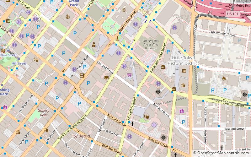
Los Angeles Street, Los Angeles
Mapa
Fakty i informacje praktyczne
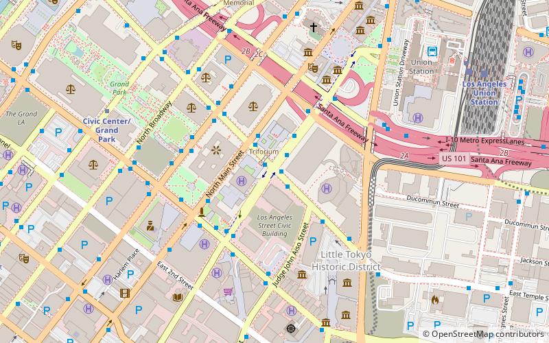
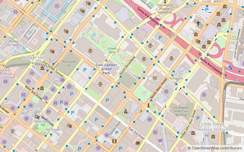
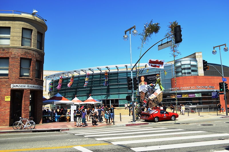
Ulica Los Angeles, pierwotnie znana jako Calle de los Negros lub Alley of the Black People, jest główną arterią komunikacyjną w centrum Los Angeles w Kalifornii, sięgającą początków miasta jako Pueblo de Los Ángeles.
Współrzędne: 34°3'12"N, 118°14'27"W
Adres
Central Los Angeles (Historic Cultural)Los Angeles
KontaktDodaj
Media społecznościowe
Dodaj
Dojazd komunikacją publiczną
Przystanki transportu publicznego w pobliżu tego miejsca
- Metro
- Autobusy
- Kolej miejska
- Kolej
 Metro
Metro
- Wyznacz trasęAliso Street & Los Angeles Street 4 min spacerem
- Wyznacz trasęMetro 70, 76, 78, 79; Foothill Transit 498 4 min spacerem
- Wyznacz trasęSpring Street & Temple Street 5 min spacerem
- Wyznacz trasęCivic Center/Grand Park 9 min spacerem
- Wyznacz trasęUnion Station 11 min spacerem
- Wyznacz trasęPershing Square 17 min spacerem
- Wyznacz trasęUnion Station 10 min spacerem
- Wyznacz trasęChinatown 20 min spacerem
- Wyznacz trasęPico/Aliso 24 min spacerem
- Wyznacz trasę7th St/Metro Center 27 min spacerem
- Wyznacz trasęUnion Station 11 min spacerem
Mapy Metro
Metro
MetroWycieczki jednodniowe
Los Angeles Street – popularne w okolicy (odległości od atrakcji)
W pobliżu znajdują się m.in. takie atrakcje jak Children's Museum of Los Angeles, Skirball Cultural Center, Ratusz, The Smell.


Często zadawane pytania (FAQ)
Jakie popularne atrakcje znajdują się w pobliżu?
Do pobliskich atrakcji należą m.in. Triforium, Los Angeles (2 min spacerem), United States Court House, Los Angeles (4 min spacerem), Spring Street Courthouse, Los Angeles (4 min spacerem), Ratusz, Los Angeles (4 min spacerem).
Jak dojechać transportem publicznym?
Stacje i przystanki znajdujące się w pobliżu lokalizacji Los Angeles Street:
Autobusy
Metro
Kolej miejska
Kolej
Autobusy
- Aliso Street & Los Angeles Street • Linie: J (4 min spacerem)
- Metro 70, 76, 78, 79; Foothill Transit 498 • Linie: 4 (4 min spacerem)
Metro
- Civic Center/Grand Park • Linie: B, D (9 min spacerem)
- Union Station • Linie: B, D (11 min spacerem)
Kolej miejska
- Union Station • Linie: L (10 min spacerem)
- Chinatown • Linie: L (20 min spacerem)
Kolej
- Union Station (11 min spacerem)