Queen Anne Boulevard, Seattle
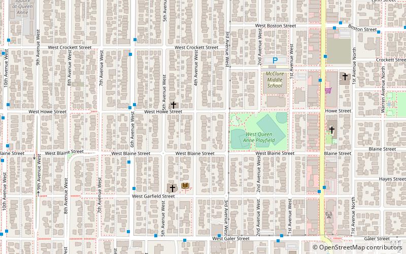
Mapa
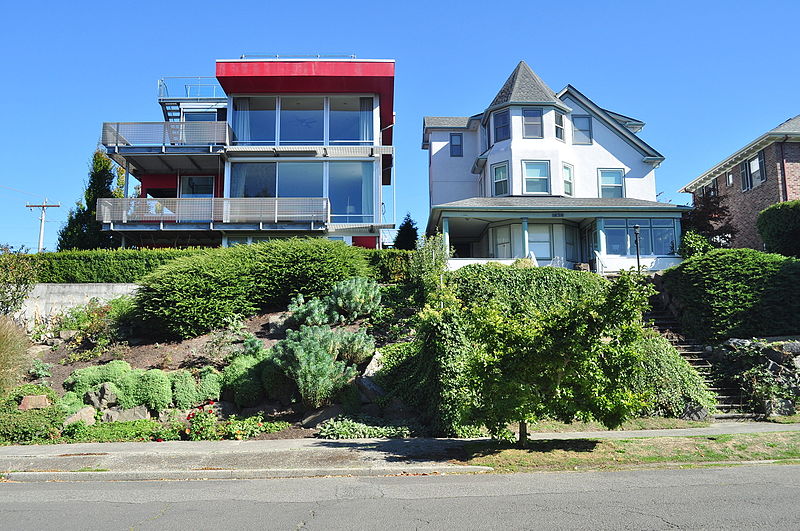
Galeria
Fakty i informacje praktyczne
Queen Anne Boulevard to 6,0-kilometrowa pętla na szczycie wzgórza Queen Anne Hill w Seattle w stanie Washington. Jest to charakterystyczny punkt miasta Seattle. Powstał w latach 1911-1916 i obejmuje części ulic 5th, 7th, 8th i 10th Avenues West; Bigelow Avenue North; West Blaine, McGraw, Wheeler, Fulton i Raye Streets; Smith, McGraw i Wheeler Streets; West Highland Drive; oraz West McGraw i McGraw Places.
Wysokość: 410 ft n.p.m.Współrzędne: 47°38'8"N, 122°21'43"W
Wycieczki jednodniowe
Queen Anne Boulevard – popularne w okolicy (odległości od atrakcji)
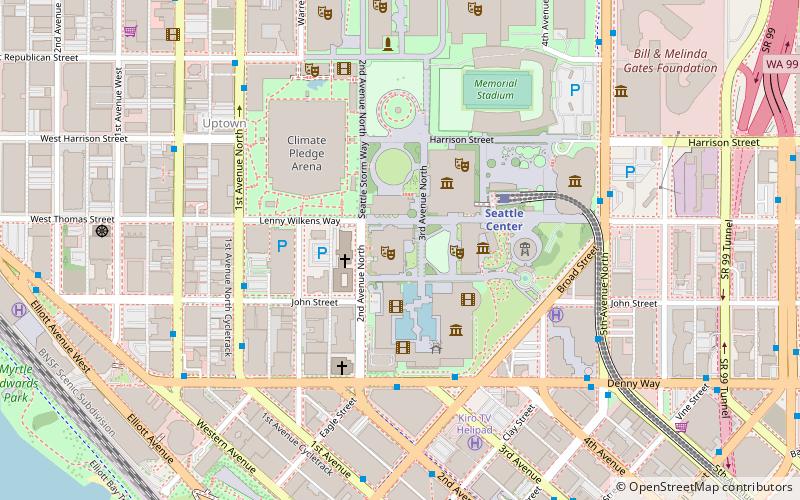
W pobliżu znajdują się m.in. takie atrakcje jak Seattle Center, Climate Pledge Arena, Kerry Park, Memorial Stadium.
Często zadawane pytania (FAQ)
Jakie popularne atrakcje znajdują się w pobliżu?
Do pobliskich atrakcji należą m.in. Queen Anne, Seattle (4 min spacerem), Kerry Park, Seattle (12 min spacerem), Parsons Gardens, Seattle (12 min spacerem), Marshall Park, Seattle (13 min spacerem).
Jak dojechać transportem publicznym?
Stacje i przystanki znajdujące się w pobliżu lokalizacji Queen Anne Boulevard:
Autobusy
Kolej
Tramwaje
Autobusy
- 6th Ave W & W Howe St • Linie: 2, 29 (4 min spacerem)
Kolej
- Seattle Center (29 min spacerem)
Tramwaje
- Westlake & Mercer • Linie: South Lake Union Streetcar (35 min spacerem)
- Terry & Thomas • Linie: South Lake Union Streetcar (39 min spacerem)

