St Saviour’s Church, Leicester
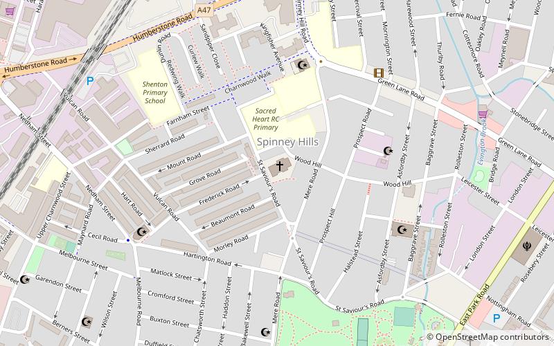
Mapa

Mapa

Fakty i informacje praktyczne
St Saviour's Church, Leicester to wpisany na listę Grade II* były kościół parafialny Kościoła Anglii w Leicester, Leicestershire.
Ukończono: 1877 r. (149 lat temu)Współrzędne: 52°38'17"N, 1°6'33"W
Adres
Leicester East (Charnwood)Leicester
KontaktDodaj
Media społecznościowe
Dodaj
Wycieczki jednodniowe
St Saviour’s Church – popularne w okolicy (odległości od atrakcji)
W pobliżu znajdują się m.in. takie atrakcje jak Haymarket Leicester, Leicester Market, Silver Arcade, Wieża zegarowa.
Często zadawane pytania (FAQ)
Jakie popularne atrakcje znajdują się w pobliżu?
Do pobliskich atrakcji należą m.in. Highfields, Leicester (15 min spacerem), Kościół Św. Piotra, Leicester (16 min spacerem), Phoenix Square, Leicester (17 min spacerem), Peepul Centre, Leicester (19 min spacerem).
Jak dojechać transportem publicznym?
Stacje i przystanki znajdujące się w pobliżu lokalizacji St Saviour’s Church:
Kolej
Autobusy
Kolej
- Leicester (20 min spacerem)
Autobusy
- Dworzec autobusowy Haymarket (24 min spacerem)
- Dworzec autobusowy (27 min spacerem)


