Isle of Anglesey Coastal Path, Holyhead

Galeria (1)
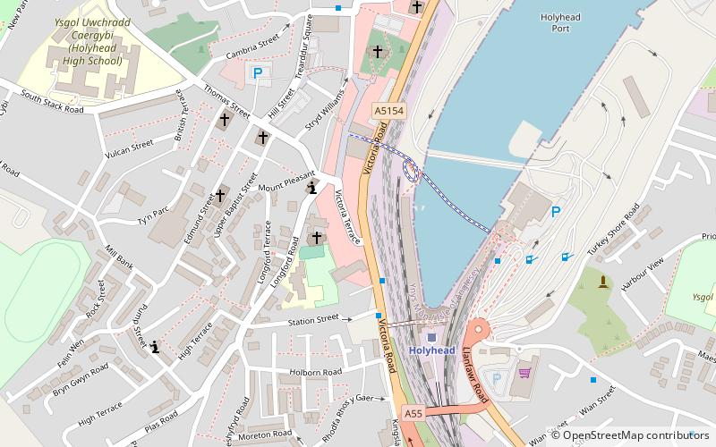
Mapa
Mapa
Fakty i informacje praktyczne
Isle of Anglesey Coastal Path – szlak turystyczny pieszy o długości 200 km, biegnący wokół wyspy Anglesey w Walii. Szlak jest częścią 1400-kilometrowego szlaku wzdłuż wybrzeży Walii – Wales Coast Path, otwartego oficjalnie w maju 2012 roku. ()
Dojazd komunikacją publiczną
Przystanki transportu publicznego w pobliżu tego miejsca
- Kolej
 Kolej
Kolej
- Wyznacz trasęHolyhead 4 min spacerem
Wycieczki jednodniowe


Często zadawane pytania (FAQ)
Jakie popularne atrakcje znajdują się w pobliżu?
Do pobliskich atrakcji należą m.in. Kościół św. Marii, Holyhead (2 min spacerem), The Celtic Gateway, Holyhead (3 min spacerem), Eglwys y Bedd, Holyhead (5 min spacerem), Port of Holyhead, Holyhead (5 min spacerem).
Jak dojechać transportem publicznym?
Stacje i przystanki znajdujące się w pobliżu lokalizacji Isle of Anglesey Coastal Path:
Kolej
Kolej
- Holyhead (4 min spacerem)