Weardale Way, Sunderland
Fakty i informacje praktyczne
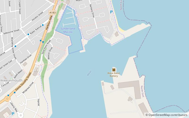
Weardale Way to szlak pieszy biegnący wzdłuż rzeki Wear w północno-wschodniej Anglii. Ma długość 73 mil i rozpoczyna się przy pomniku Lindesfarne Memorial na murze morskim w Roker. Następnie biegnie przez Chester-le-Street, Durham, Bishop Auckland, Wolsingham i Stanhope. Ścieżka kończy się przed pocztą we wsi Wearhead w hrabstwie Durham.
Na obszarze administrowanym przez władze lokalne miasta Sunderland trasa ma przebiegać zgodnie z oznaczeniami szlaku River Wear Trail; niestety wiele oznaczeń tego szlaku zostało usuniętych przez wandali. Gdy trasa wkracza na obszar administrowany przez radę hrabstwa Durham, jest w pewnym stopniu oznakowana plastikowymi krążkami przymocowanymi do drewnianych i metalowych słupków, drzew i mebli ulicznych. Wzdłuż trasy znajduje się kilka drewnianych znaków "palcowych", które odliczają odległość wzdłuż ścieżki w obu kierunkach.
Ścieżka ta jest zaznaczona na najnowszej serii map Ordnance Survey 1:25 000, arkusze Explorer nr 305, 307, 308 i OL31 obejmują tę trasę.
Dostępny jest przewodnik po tej trasie: The Weardale Way, A Pictorial Walking Guide by Alistair Wallace.
Sunderland
- Autobusy
- Kolej miejska
 Autobusy
- Wyznacz trasęStadium of Light 19 min spacerem
- Wyznacz trasęSt Peter's 22 min spacerem
- Wyznacz trasęSunderland 27 min spacerem
- Wyznacz trasęSeaburn 32 min spacerem
- Wyznacz trasęSt Mary's Way 25 min spacerem
- Wyznacz trasęSunderland Interchange 33 min spacerem
- Wyznacz trasęSunderland Interchange Stand R 33 min spacerem


Często zadawane pytania (FAQ)
Jakie popularne atrakcje znajdują się w pobliżu?
Jak dojechać transportem publicznym?
Kolej miejska
- Stadium of Light • Linie: Green (19 min spacerem)
- St Peter's • Linie: Green (22 min spacerem)
Autobusy
- St Mary's Way • Linie: 135 (25 min spacerem)
- Sunderland Interchange • Linie: 426, 436, 905 (33 min spacerem)