Wilson Street, Glasgow
Mapa
Fakty i informacje praktyczne
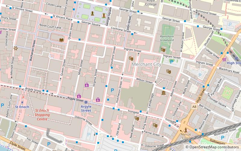
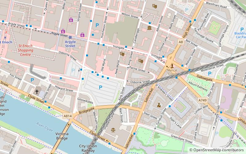
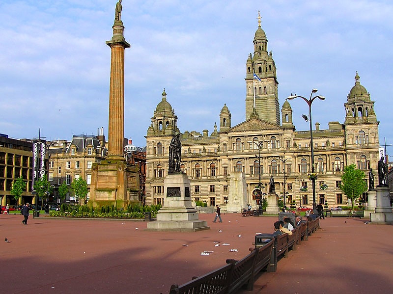
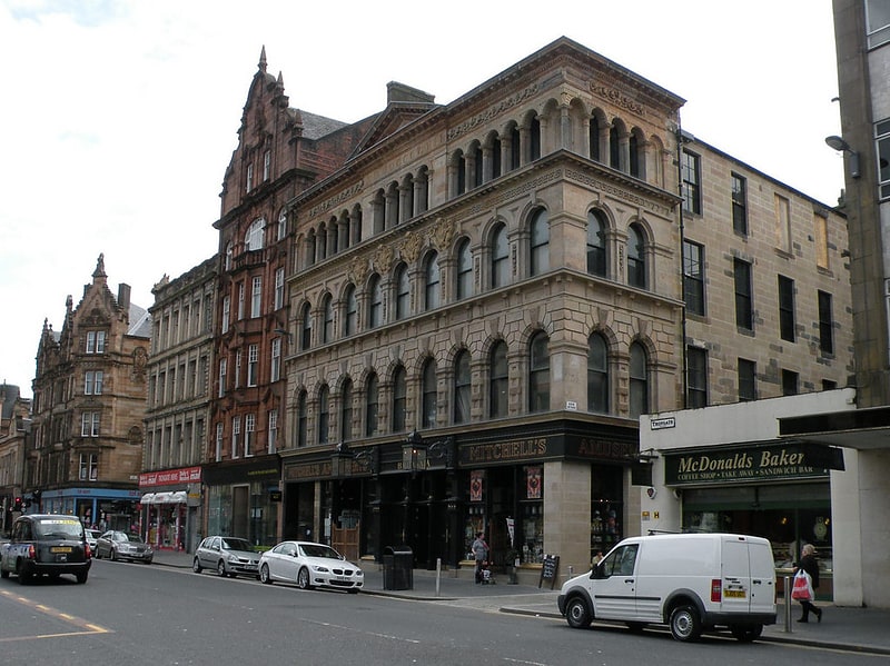
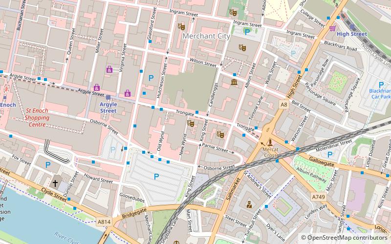
Wilson Street to ulica przelotowa w Glasgow, największym mieście Szkocji. Ulica biegnie na wschód od Virginia Street przez Merchant City, aż do skrzyżowania z Candleriggs.
Współrzędne: 55°51'31"N, 4°14'53"W
Adres
City Centre (Merchant City)Glasgow
KontaktDodaj
Media społecznościowe
Dodaj
Dojazd komunikacją publiczną
Przystanki transportu publicznego w pobliżu tego miejsca
- Metro
- Autobusy
- Kolej
 Metro
Metro
- Wyznacz trasęGlassford Street / Garth Street 1 min spacerem
- Wyznacz trasęTrongate / New Wynd 3 min spacerem
- Wyznacz trasęArgyle Street 4 min spacerem
- Wyznacz trasęGlasgow Queen Street 8 min spacerem
- Wyznacz trasęHigh Street 9 min spacerem
- Wyznacz trasęSt Enoch 8 min spacerem
- Wyznacz trasęBuchanan Street 9 min spacerem
- Wyznacz trasęBridge Street 16 min spacerem
- Wyznacz trasęCowcaddens 20 min spacerem
Wycieczki jednodniowe
Wilson Street – popularne w okolicy (odległości od atrakcji)
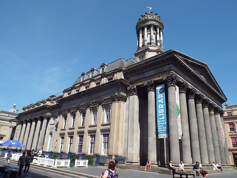
W pobliżu znajdują się m.in. takie atrakcje jak Gallery of Modern Art, St. Enoch Centre, The 13th Note, Princes Square.


Często zadawane pytania (FAQ)
Jakie popularne atrakcje znajdują się w pobliżu?
Do pobliskich atrakcji należą m.in. Glassford Street, Glasgow (1 min spacerem), Merchant City, Glasgow (2 min spacerem), Hutchesons' Hall, Glasgow (3 min spacerem), Candleriggs, Glasgow (3 min spacerem).
Jak dojechać transportem publicznym?
Stacje i przystanki znajdujące się w pobliżu lokalizacji Wilson Street:
Autobusy
Kolej
Metro
Autobusy
- Glassford Street / Garth Street • Linie: 2 (1 min spacerem)
- Trongate / New Wynd • Linie: 2 (3 min spacerem)
Kolej
- Argyle Street (4 min spacerem)
- Glasgow Queen Street (8 min spacerem)
Metro
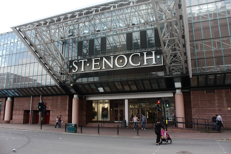
- St Enoch • Linie: Subway (8 min spacerem)
- Buchanan Street • Linie: Subway (9 min spacerem)