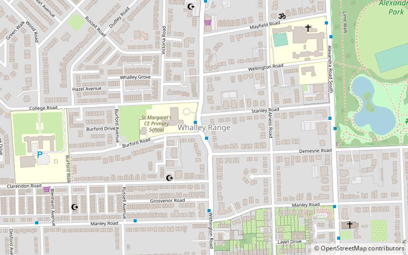
Whalley Range, Manchester

Mapa
Fakty i informacje praktyczne
Whalley Range – dzielnica w Manchesterze, w Anglii, w Greater Manchester, w dystrykcie Manchester. W 2011 dzielnica liczyła 15430 mieszkańców. ()
Współrzędne: 53°26'58"N, 2°15'27"W
Adres
Whalley RangeManchester
KontaktDodaj
Media społecznościowe
Dodaj
Wycieczki jednodniowe
Whalley Range – popularne w okolicy (odległości od atrakcji)
W pobliżu znajdują się m.in. takie atrakcje jak Whitworth Art Gallery, Kościół Chrystusa, St Clement's, Manchester Academy.
Często zadawane pytania (FAQ)
Jakie popularne atrakcje znajdują się w pobliżu?
Do pobliskich atrakcji należą m.in. British Muslim Heritage Centre, Manchester (8 min spacerem), Alexandra Park, Manchester (10 min spacerem), Moss Side, Manchester (14 min spacerem), Kościół św. Marii, Manchester (22 min spacerem).
Jak dojechać transportem publicznym?
Stacje i przystanki znajdujące się w pobliżu lokalizacji Whalley Range:
Autobusy
Tramwaje
Autobusy
- Kings Road/Upper Chorlton Road • Linie: 15 (15 min spacerem)
- Upper Chorlton Road/Brooks's Bar • Linie: 15 (17 min spacerem)
Tramwaje
- Chorlton • Linie: Airp, Dean, EDid, Roch, Shaw, Vict (21 min spacerem)
- St Werburgh's Road • Linie: Airp, Dean, EDid, Roch, Shaw, Vict (21 min spacerem)
 Metrolink
 Metrolink / Kolej miejska


