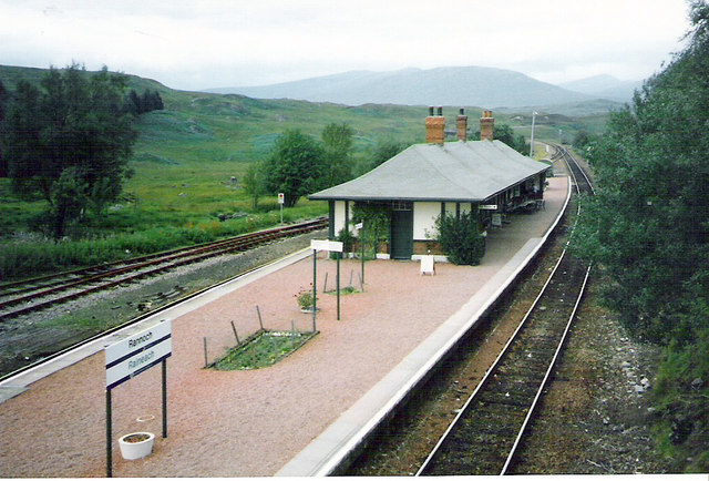
The Soldiers' Trenches, Ben Nevis and Glen Coe National Scenic Area

Galeria (2)
Mapa
Mapa
Galeria
Fakty i informacje praktyczne
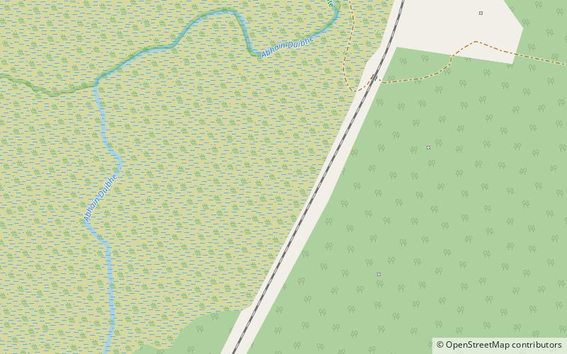
Soldiers' Trenches on Rannoch Moor to rowy melioracyjne wykopane przez żołnierzy armii brytyjskiej w latach 1763-64 w ramach próby osuszenia części Moor of Rannoch, Fortingall Parish, Perth and Kinross, Szkocja. Celem było uzyskanie użytecznego rolniczo terenu pod uprawy, wypas itp.
Współrzędne: 56°38'2"N, 4°34'26"W
Adres
Ben Nevis and Glen Coe National Scenic Area
KontaktDodaj
Media społecznościowe
Dodaj
Wycieczki jednodniowe


