Sharston, Manchester

Mapa
Fakty i informacje praktyczne
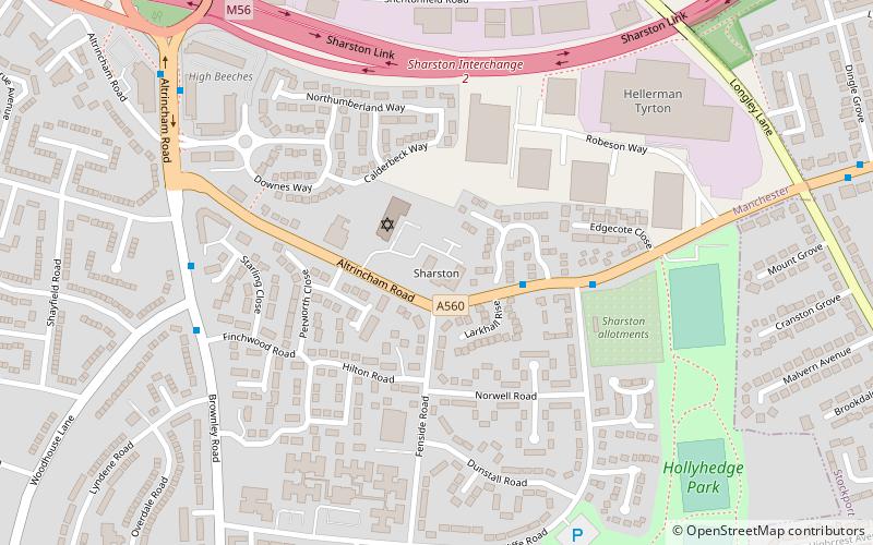
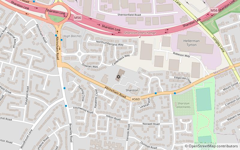
Sharston – osada w Anglii, w Greater Manchester, w dystrykcie Manchester. W 2011 miejscowość liczyła 16 754 mieszkańców. ()
Współrzędne: 53°23'36"N, 2°15'7"W
Adres
SharstonManchester
KontaktDodaj
Media społecznościowe
Dodaj
Wycieczki jednodniowe
Sharston – popularne w okolicy (odległości od atrakcji)
W pobliżu znajdują się m.in. takie atrakcje jak William Temple Memorial Church, Wythenshawe Hall, Fletcher Moss Botanical Garden, Kościół św. Jakuba.
Często zadawane pytania (FAQ)
Jakie popularne atrakcje znajdują się w pobliżu?
Do pobliskich atrakcji należą m.in. Menorah Synagogue, Manchester (2 min spacerem), Gatley, Stockport (14 min spacerem), Benchill Community Centre, Manchester (16 min spacerem).
Jak dojechać transportem publicznym?
Stacje i przystanki znajdujące się w pobliżu lokalizacji Sharston:
Autobusy
Tramwaje
Kolej
Autobusy
- Gatley, Altrincham Road / opposite Stancliffe Road • Linie: 11A (2 min spacerem)
- Sharston, Altrincham Road / opposite Sharston Green • Linie: 11A (8 min spacerem)
Tramwaje
- Benchill • Linie: Airp, Dean, Vict (12 min spacerem)
- Crossacres • Linie: Airp, Dean, Vict (18 min spacerem)
Kolej
- Gatley (23 min spacerem)
 Metrolink
 Metrolink / Kolej miejska


